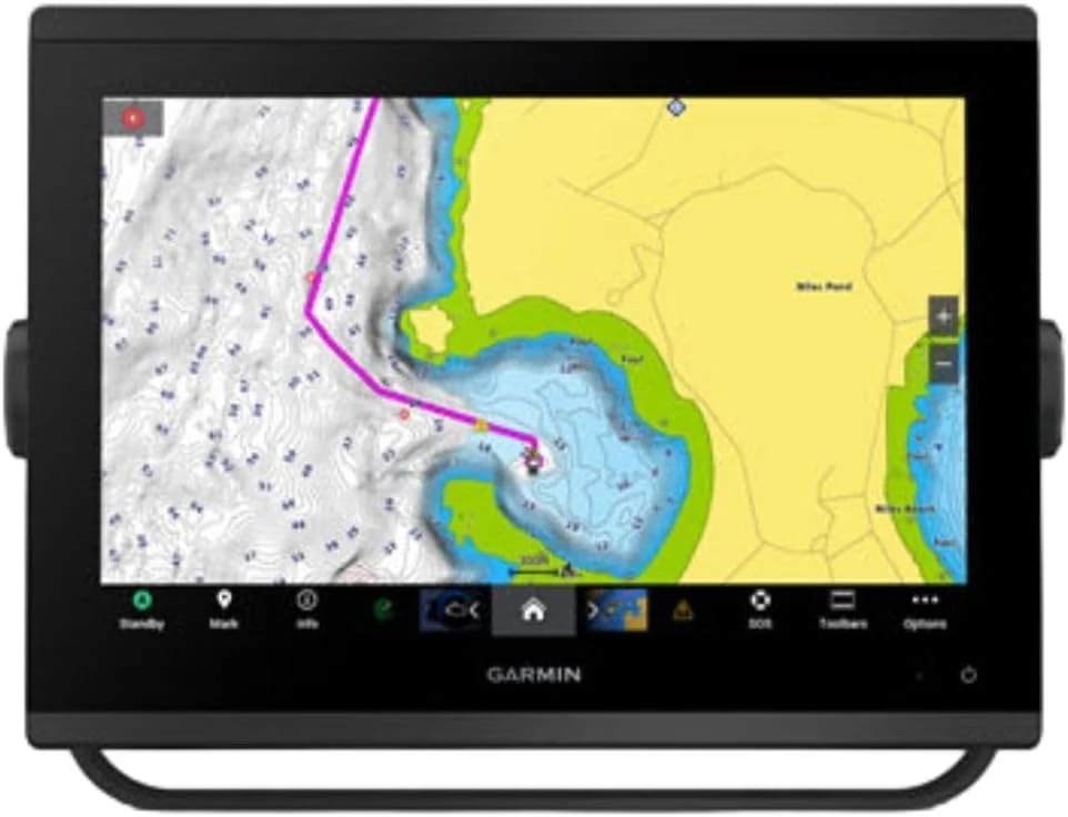
Marine GPS Chartplotters $3,100
★★★★★ 4.2/5 18 ratings The Garmin GPSMAP 1243xsv is a 12-inch marine chartplotter with WXGA display and built-in sonar features designed for SideVü, ClearVü, and traditional CHIRP (plus Panoptix support). It comes with pre-loaded mapping and aims to improve on-screen clarity for day-to-day navigation and scanning sonar use. The main tradeoff is that this is a larger, higher-end setup, so it is best for boats where you want a big-screen multifunction unit rather than a compact upgrade.
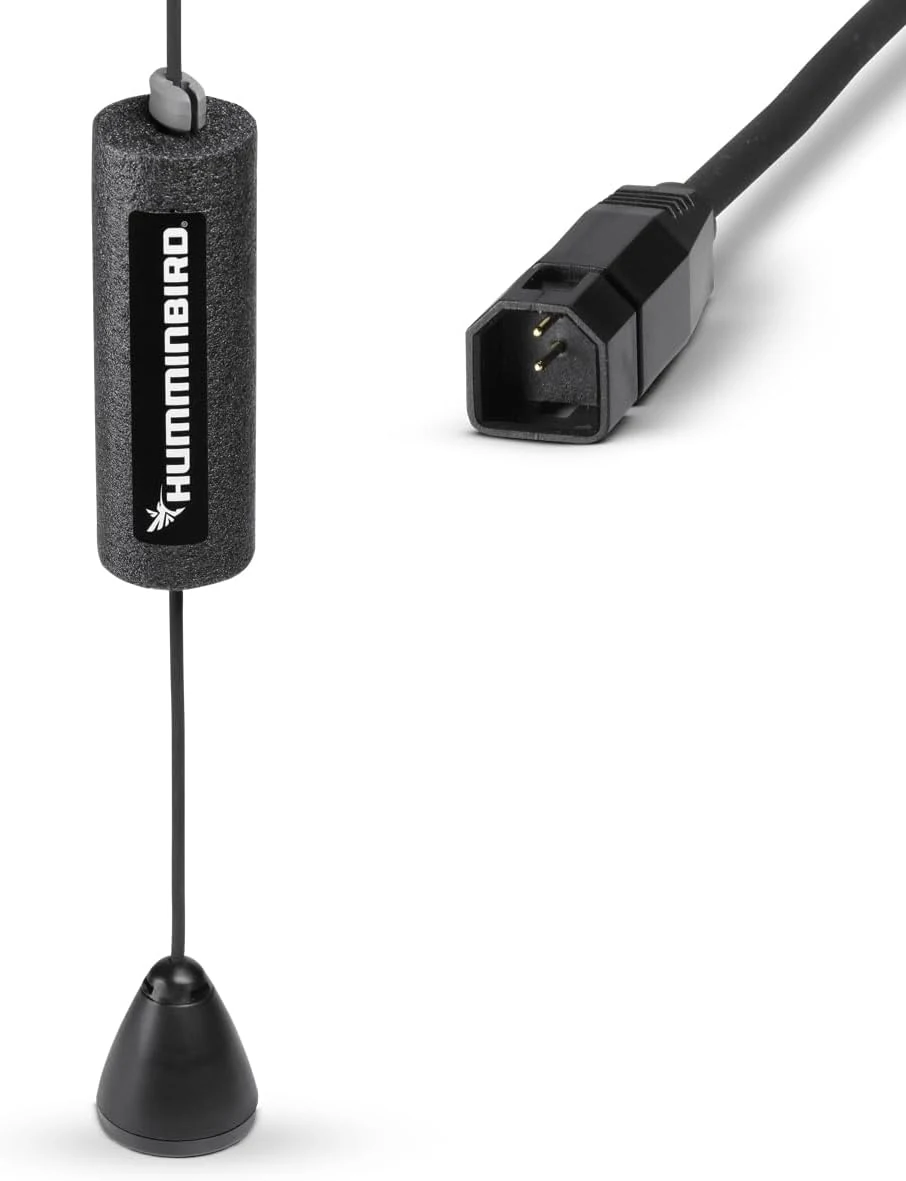
Marine GPS Chartplotters $66.59
★★★★★ 4.6/5 378 ratings A dedicated ice-fishing sonar transducer for Humminbird units that converts many non-CHIRP setups into hardwater sonar. It’s built for proper positioning in an ice hole and delivers two sonar beam angles for detail and coverage, with one key limitation: sonar only (no temperature sensor).
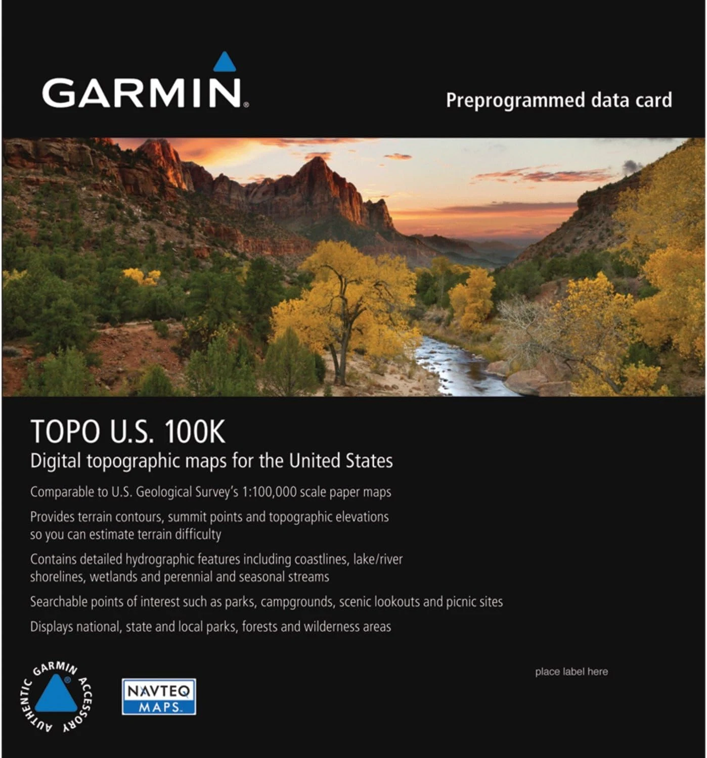
Marine GPS Chartplotters $99.99
★★★★★ 4.2/5 189 ratings Garmin Topo US 100K Full Coverage (microSD/SD) is built for detailed, USGS-like topographic navigation on compatible Garmin units. It emphasizes terrain contours, elevation context, and routable roads and trails, plus hydrographic detail for lakes, rivers, wetlands, and seasonal waterways, with 3D terrain shading on supported devices. The main caveat is that coverage can still miss some established or obscure routes in certain areas.
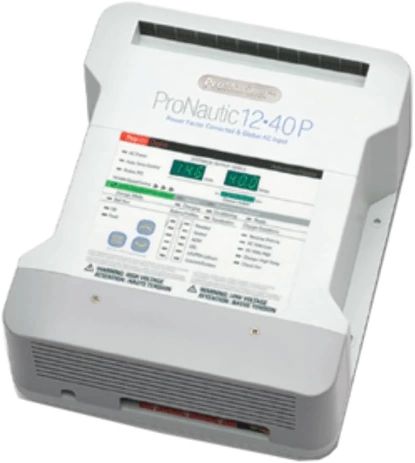
Marine GPS Chartplotters $636
★★★★★ 4.8/5 26 ratings The ProMariner ProNautic 1240P is a 3-bank, 40A marine battery charger designed for 12V DC systems. Buyers highlight long-term reliability and easy installation, with the main caution being that all banks may need to match the same battery chemistry/type for proper use.
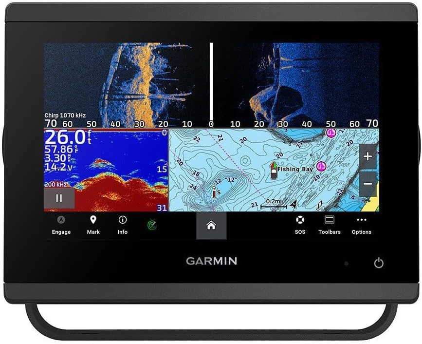
Marine GPS Chartplotters $1,300
★★★★★ 5/5 9 ratings The Garmin GPSMAP 743xsv (7") is a networked marine chartplotter designed for anglers and cruisers who want sharp charting plus powerful scanning sonar. It supports SideVü and ClearVü-style viewing, preloaded Garmin Navionics+ coastal and inland maps, and connectivity options (NMEA 2000, NMEA 0183, USB). The main caveat: buyers should be prepared for a proper marine install and ensure their setup supports the sonar and network features they plan to use.
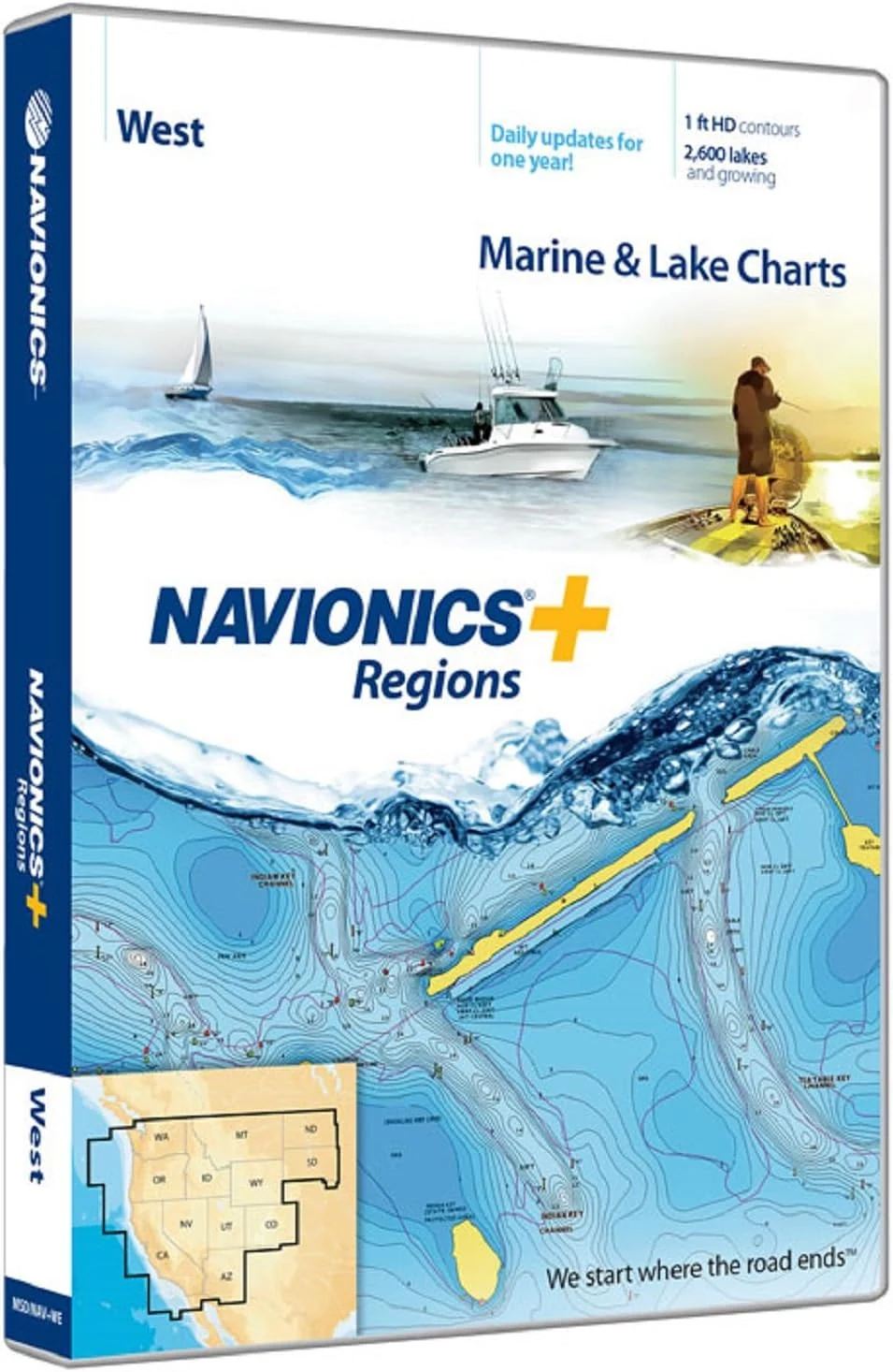
Marine GPS Chartplotters $138
★★★★★ 4.2/5 84 ratings Navionics Plus Regions West packs Nautical chart coverage for western marine cruising and Canadian waters around Puget Sound, plus thousands of lakes across the western U.S. The SD/MSD card includes built-in nautical and SonarChart HD bathymetry detail and comes with daily updates for one year, making it a strong choice for chartplotter and fish-finding focused boating where shallow-water awareness matters.
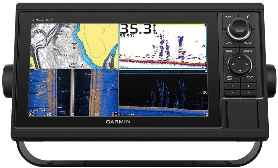
Marine GPS Chartplotters $1,700
★★★★★ 3.7/5 6 ratings The Garmin GPSMAP 1042xsv is a 10-inch marine chartplotter built for boaters who want bright chart viewing, waypoint and route transfer, and sonar capability (with a transducer sold separately). It supports ANT connectivity, Bluetooth, Garmin SailAssist, and sharing across Garmin Marine Network, but buyers should be ready for a menu-heavy interface and keypad-first control style.
Marine GPS Chartplotters $188
★★★★★ 3.8/5 52 ratings Humminbird 600032-1 AutoChart PRO North America is PC mapping software and media for creating custom lake charts from sonar and GPS data. It includes Bottom Hardness and Side Imaging style overlays, plus a 32 GB “Zero Lines” SD card with extensive North America coverage, making it a strong fit for owners who want to build their own fishing-spot maps offline. The main caveat is setup complexity and the fact it may overlap with features you already have if your setup includes AutoChart Live.
Marine GPS Chartplotters $315
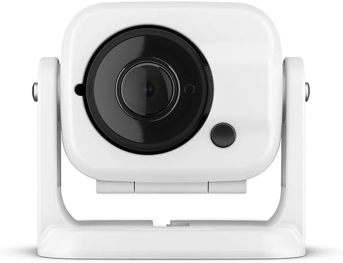
★★★★★ 2.8/5 30 ratings Garmin GC 100 is a compact, wireless marine camera designed to stream video to compatible Garmin chartplotters, including night/infrared use cases. The main tradeoff is connection reliability and the need for chartplotter software compatibility for setup and syncing.
Marine GPS Chartplotters $2,010
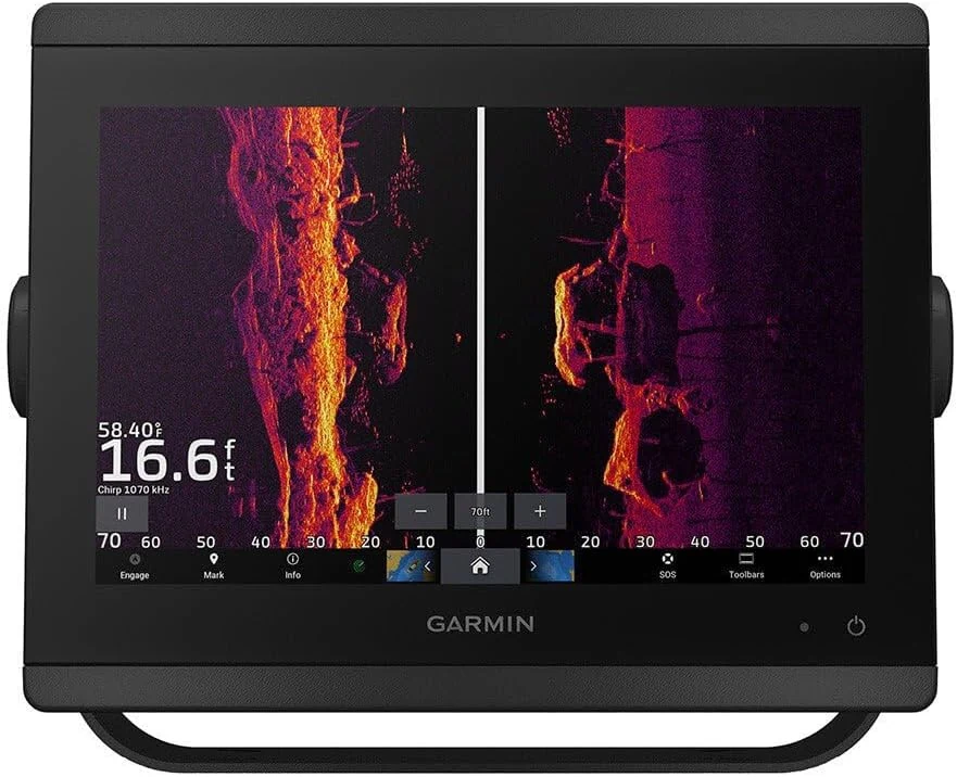
★★★★★ 5/5 4 ratings The Garmin GPSMAP 8610xsv is a 10-inch marine chartplotter with an HD IPS touchscreen and built-in sonar support (transducers sold separately). It pairs Navionics+ mapping with Wi-Fi and flexible connectivity options, making it a strong upgrade path for anglers and cruisers building out a modern Garmin marine system.
![Garmin GPSMAP 943xsv with GMR 18 HD3 Radome [010-02366-53]](/product-images/019ee2c8-2621-70a0-85c5-eb93fb720a2b-0-87e77e948e34.webp)
Marine GPS Chartplotters $3,200
★★★★★ 5/5 2 ratings The Garmin GPSMAP 943xsv is a 9-inch IPS touchscreen chartplotter paired with a compact GMR 18 HD3 radome option for better weather awareness. It supports built-in ultra-high-definition sidevü and clearvü scanning sonar, integrates into Garmin marine systems, and uses preloaded Garmin Navionics+ mapping with update coverage via subscription. The main caveat is system-level planning: you will likely need compatible sonar/transducer hardware and radar bundle decisions to match your setup.
Marine GPS Chartplotters $93.99
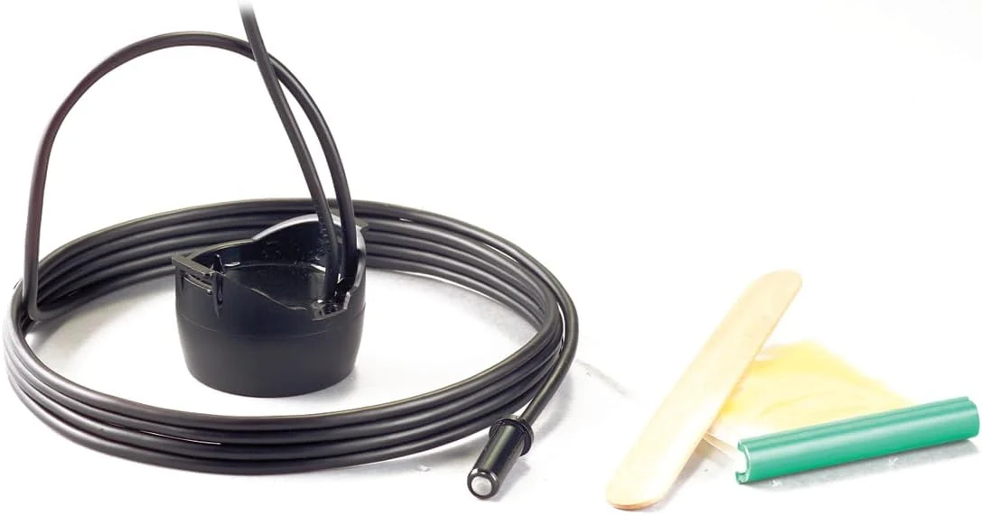
★★★★★ 4.4/5 60 ratings The Humminbird XP 9 20 T is an in-hull puck sonar transducer designed for single-layer fiberglass hulls. It’s built to be glued inside the boat (not hung on the outside), includes a temperature sensor, and connects to compatible Humminbird HELIX and other listed fish finder models via a 15-foot cable.
Marine GPS Chartplotters $63.99
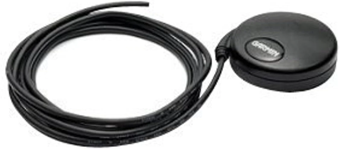
★★★★★ 4.5/5 83 ratings The Garmin 18x LVC is a compact, OEM-style GPS receiver designed for projects that need timing-grade performance. Its standout feature is the LVC (bare-wire) Pulse Per Second (PPS) output aligned to UTC within 1 microsecond, plus WAAS-enabled high-sensitivity GPS reception. It is less ideal if you want plug-and-play navigation hardware or a turnkey marine chartplotter.
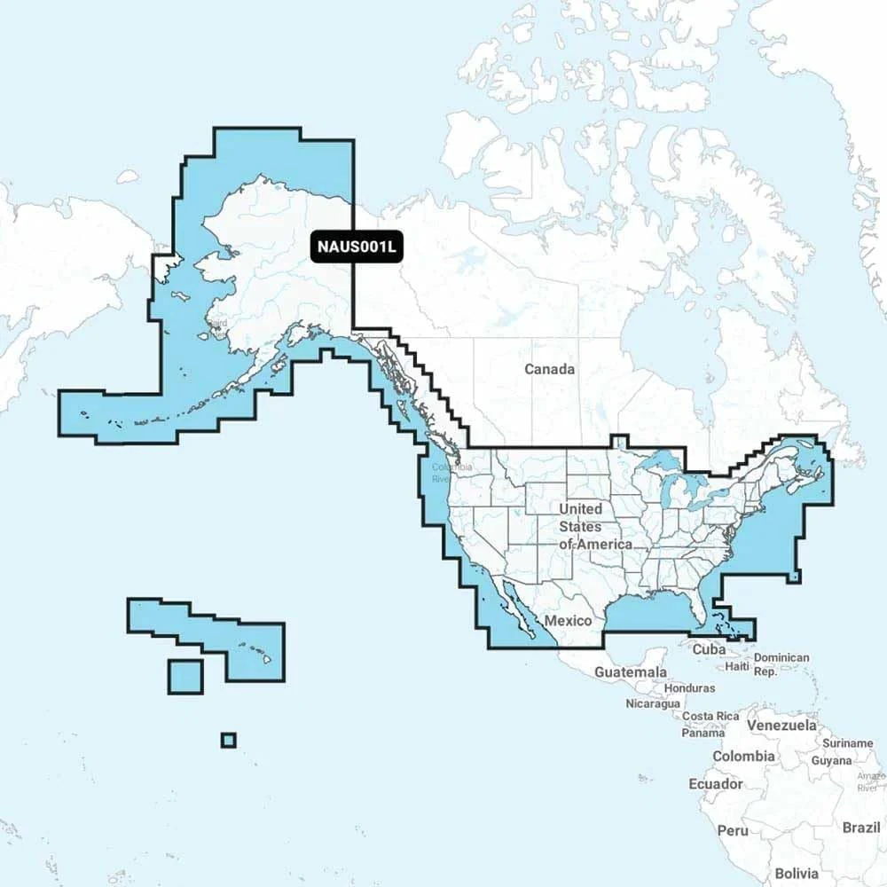
Marine GPS Chartplotters $160
★★★★★ 4.3/5 26 ratings A region-specific Navionics+ microSD chart card designed for compatible Navionics chartplotter systems. It targets U.S. coasts plus coastal Canada coverage, with detailed waterways and HD bathymetry features, and options for daily updates.
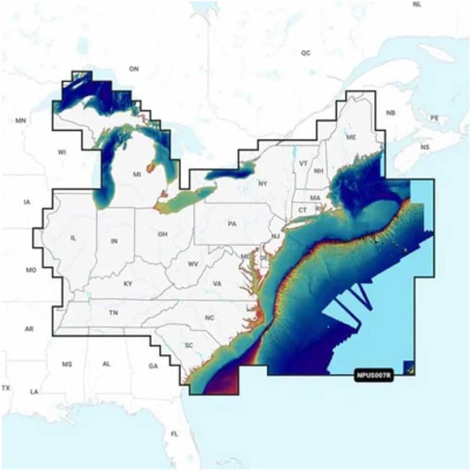
Marine GPS Chartplotters $210
★★★★★ 3.7/5 14 ratings Navionics Platinum+ charts for Garmin-style setups bring detailed relief shading, depth visuals, and route guidance, plus ActiveCaptain daily updates. It can be a strong choice for anglers and boaters focused on fishing and inland or offshore coverage, but buyer-fit is critical because some shoppers report Garmin compatibility confusion and a learning-curve with chart layers and tools.
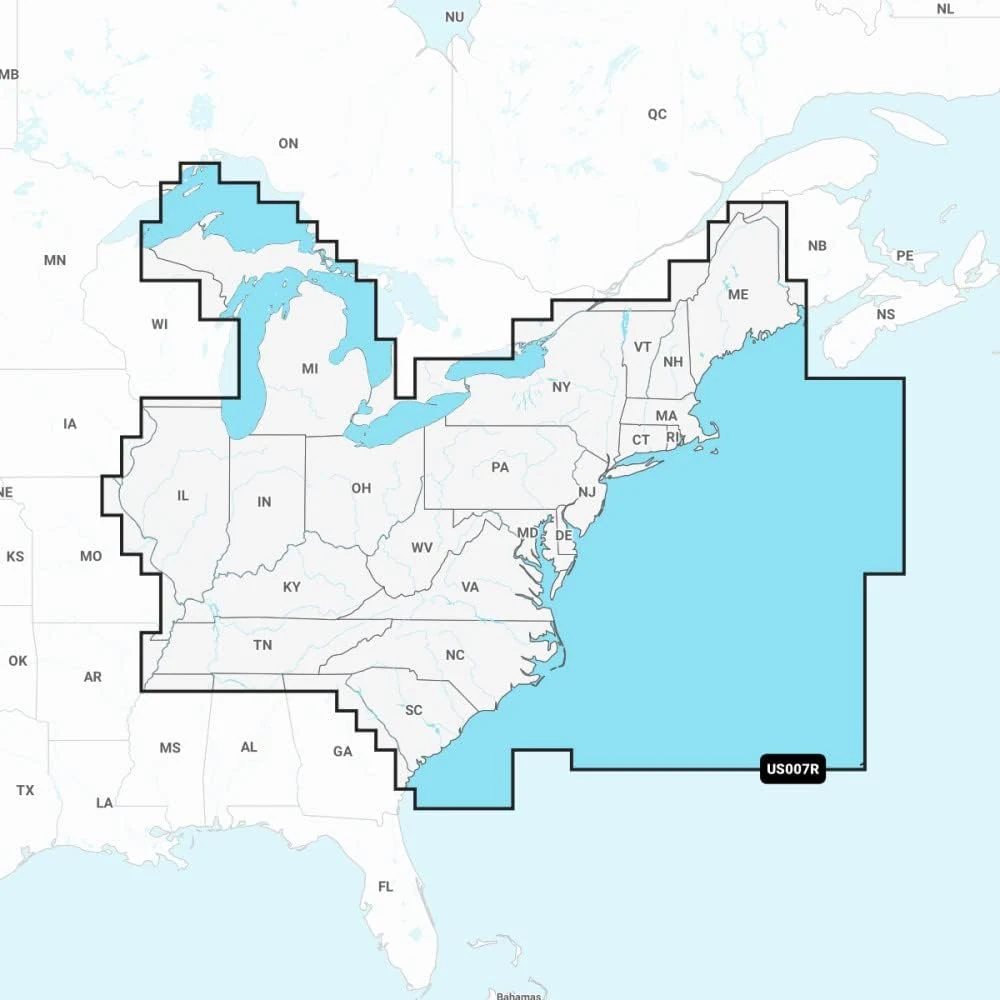
Marine GPS Chartplotters $215
★★★★★ 4.4/5 11 ratings Garmin’s Navionics Vision+ U.S. East chart card brings detailed coastal, lake, and river coverage to compatible Garmin chartplotters, with customizable layers and ActiveCaptain-based daily updates during a one-year subscription. It is best for boaters who want richer depth shading and visual detail, but it requires time and the right setup process to install and sync the enhanced charts.
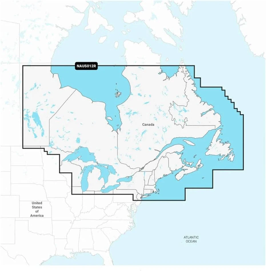
Marine GPS Chartplotters $136
★★★★★ 4.5/5 16 ratings Navionics NAUS012R is a region-specific Navionics+ chart card for Canada (East) and the Great Lakes area. Buyers generally report accurate coverage and useful depth contour detail, with the main caveat being that depth contours may not be perfectly precise everywhere, so treat them as guidance rather than absolute readings. It is a solid pick if you want a single, targeted mapping card for Ontario and nearby waters.
Marine GPS Chartplotters $173
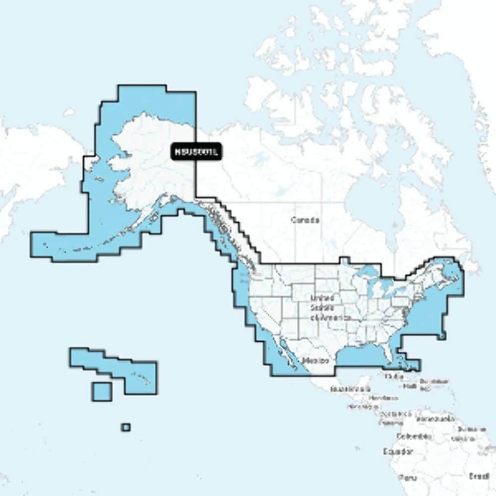
★★★★★ 4.3/5 11 ratings Garmin Navionics+ charts for U.S. and coastal Canada combine inland and coastal coverage in a Navionics-style color palette, designed for select Garmin chartplotters. Buyers should confirm their compatible device and understand that this purchase is a map card plus a one-year subscription, not a preloaded internal map.