Garmin U.S. & Coastal Canada - Lakes, Rivers and Coastal Marine Charts - Garmin Navionics+™ | NSUS001L | microSD™/SD™ and One-Year Subscription
Quick take
Garmin Navionics+ NSUS001L is a microSD/SD map card plus a one-year subscription intended for select Garmin marine chartplotters. It aims to make navigation easier with vibrant, high-contrast colors and a combined inland and coastal chart approach for the U.S. and coastal Canada.
Pros and cons
Pros
- Combined inland and coastal chart coverage for the U.S. and coastal Canada.
- Navionics-style color palette designed to make planning and course plotting easier.
- Uses removable microSD/SD media, so you can keep charts organized by region.
- Includes a one-year subscription with the map purchase.
Cons
- Not a universal add-on, it only works with select Garmin chartplotters.
- Some buyers report this is not as straightforward as a simple “plug in and go” chip, especially around download/activation expectations.
- Possible feature gaps for specific dynamic lake data (for example, Dynamic Lake Level), which can matter for fluctuating-lake navigation.
What buyers think
Buyer-review evidence is mixed and somewhat limited, but the recurring themes are clear. Some buyers like the charting detail compared with default or preloaded maps, especially for Canada coverage. Others express frustration with setup and expectations that this would be a simple insert-and-use card, citing download or activation difficulty. There is also a notable concern around the absence of Dynamic Lake Level, which some buyers consider a deal-breaker for lakes where water levels change significantly.
Overall, reviews point less to a “quality of maps” problem and more to compatibility, setup experience, and whether the dynamic features you rely on are included.
What this Garmin Navionics+ chart set is for
This is a region-focused marine chart product (U.S. and coastal Canada) built for Garmin marine chartplotters that support Navionics+ chart cards. It is meant to upgrade or expand what you see on your display, using a Navionics-style color approach and “vibrant colors” aimed at keeping course planning visually clear.
Coverage and map style
Instead of being only open-water coastal coverage, it is designed to include lakes and rivers alongside coastal charts. That can be a practical match if your trips mix inlets and coastal cruising with freshwater or connected waterways.
Pros and cons by buying priority
Best for
- Owners of compatible Garmin chartplotters who want U.S. and coastal Canada charts for both coastal and inland routes.
- Buyers who prefer high-contrast, Navionics-style map colors for easier visual navigation.
- People who are comfortable managing chart media (microSD/SD) and a one-year subscription component.
Potential mismatches
- Anyone who needs a chart card that is guaranteed to include specific dynamic lake data features like Dynamic Lake Level.
- Shoppers looking for the simplest possible “insert card, instantly ready” experience, because setup and activation can be confusing for some buyers.
- Buyers who are unsure about compatibility with their exact Garmin model, since this chart is only compatible with select chartplotters.
Compatibility check before you buy
Before ordering, confirm two things. First, make sure your Garmin marine chartplotter model supports this Navionics+ format (the listing notes compatibility with select Garmin chartplotters). Second, confirm you are comfortable with the subscription aspect included with the purchase, since chart features and updates are tied to that one-year term.
Pros and cons summary
- Strong point: A clear, Navionics-style chart presentation and combined inland plus coastal coverage for the U.S. and coastal Canada.
- Main risk: Feature availability (especially dynamic lake functionality) and user experience around download or activation.
- Buy when: Your Garmin chartplotter is compatible and your routes match lakes, rivers, and coastal navigation needs.
- Skip when: You depend on dynamic lake level data or you want a guaranteed plug-and-play setup.
Price and availability
Pricing can vary by marketplace timing. The listing also indicates limited availability at the time of viewing (only a small number left, with more on the way), so it may be worth checking the latest price before you commit.
Alternatives to consider
If you are primarily optimizing for a specific use case, choose an alternative by mapping your priority:
- If you only navigate coastal waters: look for a coastal-focused chart option rather than combined inland and coastal coverage.
- If dynamic lake levels are critical: compare chart products by whether they explicitly include the dynamic lake data you need, not just general lake coverage.
- If you want simpler setup: prioritize chart solutions that your exact Garmin model is known to activate with minimal steps (and double-check whether updates or downloads are required).
FAQ
If you have questions about compatibility, setup, or what the subscription covers, these are the most common decision points.
- What Garmin devices are compatible with this chart card? It is compatible with select Garmin chartplotters. Check your chartplotter model against the supported list before purchasing.
- Is this a microSD card or an SD card? It is listed as microSD/SD media, and the included component is described as microSD/SD.
- Does this include a subscription? Yes, it includes a one-year subscription term with the purchase.
- Does it work for lakes and rivers as well as coastal areas? Yes, it is designed for lakes, rivers, and coastal marine chart coverage for the U.S. and coastal Canada.
- Does it include Dynamic Lake Level? Feature availability can vary by chart product. Some buyers flagged missing Dynamic Lake Level, so it is worth verifying that the dynamic feature you need is included for your intended usage.
Quick answers
Specifications
| Product Title | Garmin U.S. & Coastal Canada - Lakes, Rivers and Coastal Marine Charts - Garmin Navionics+™ | NSUS001L | microSD™/SD™ and One-Year Subscription |
|---|---|
| Category | Electronics > Car & Vehicle Electronics > Marine Electronics > Marine GPS Chartplotters |
| Brand | Garmin |
| Manufacturer | Garmin |
| Model Number | 010-C1287-20 |
| Color | full color |
| Brand Name | Garmin |
| Map Type | North America |
| UPC | 753759289812 |
| Part Number | 010-C1287-20 |
| Unit Count | 1.0 Count |
| Included Components | microSD™/SD™ |
| Warranty Description | 1 year limited warranty |
| Item Type Name | Map SD |
| Paper Finish | Glossy |
Recommended next
Humminbird 600032-1 AutoChart PRO North America Sonar & GPS DVD PC Mapping Software Small
Humminbird 600032-1 AutoChart PRO North America is PC mapping software and media for creating custom lake charts from sonar and GPS data. It includes Bottom Hardness and Side Imaging style overlays, plus a 32 GB “Zero Lines” SD card with extensive North America coverage, making it a strong fit for owners who want to build their own fishing-spot maps offline. The main caveat is setup complexity and the fact it may overlap with features you already have if your setup includes AutoChart Live.
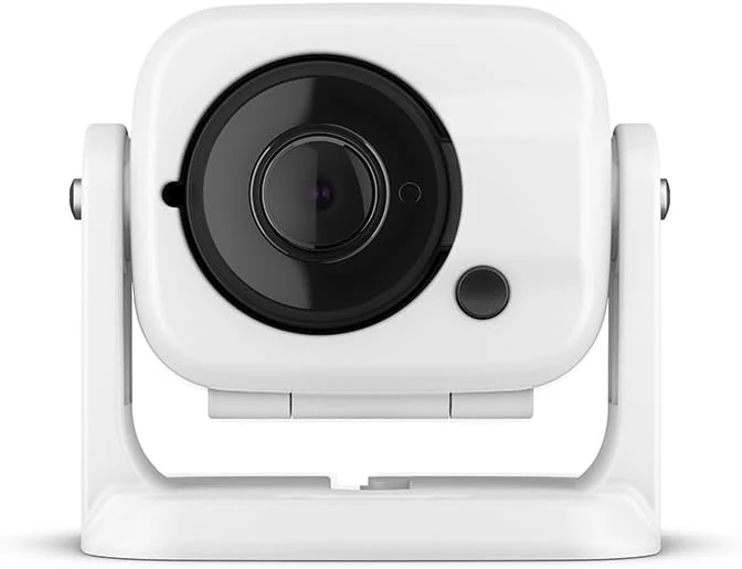
Garmin GC 100 Wireless Camera, 010-01865-30
Garmin GC 100 is a compact, wireless marine camera designed to stream video to compatible Garmin chartplotters, including night/infrared use cases. The main tradeoff is connection reliability and the need for chartplotter software compatibility for setup and syncing.
Garmin Topo US 100K Full Coverage, Garmin MicroSD/SD
Garmin Topo US 100K Full Coverage (microSD/SD) is built for detailed, USGS-like topographic navigation on compatible Garmin units. It emphasizes terrain contours, elevation context, and routable roads and trails, plus hydrographic detail for lakes, rivers, wetlands, and seasonal waterways, with 3D terrain shading on supported devices. The main caveat is that coverage can still miss some established or obscure routes in certain areas.
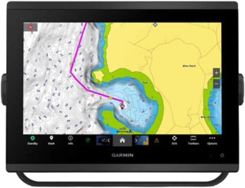
Garmin 010-02367-61 GPSMAP 1243xsv SideVü, ClearVü and Traditional Chirp Sonar with Mapping - 12" Navionics+
The Garmin GPSMAP 1243xsv is a 12-inch marine chartplotter with WXGA display and built-in sonar features designed for SideVü, ClearVü, and traditional CHIRP (plus Panoptix support). It comes with pre-loaded mapping and aims to improve on-screen clarity for day-to-day navigation and scanning sonar use. The main tradeoff is that this is a larger, higher-end setup, so it is best for boats where you want a big-screen multifunction unit rather than a compact upgrade.