Garmin Topo US 100K Full Coverage, Garmin MicroSD/SD
Quick take
Garmin Topo US 100K Full Coverage is a detailed topo map microSD/SD for compatible Garmin GPS units, designed to help you understand terrain through contour lines, elevation context, and (on supported devices) 3D terrain shading. It is a strong fit for hikers, off-road trail users, and anyone who wants searchable POIs plus routable trails and road network detail. The main limitation to keep in mind is that some long-established or highly specific routes may not appear in every location.
Pros and cons
Pros
- Highly detailed topographic coverage, described as comparable to 1:24,000 USGS map scale, with terrain contours and elevations.
- Rich hydrographic features, including coastlines, lake and river shorelines, wetlands, and perennial and seasonal streams.
- Searchable points of interest and many routable trails, rural roads, parks, and neighborhood-to-interstate road coverage.
- Provides an elevation profile on compatible devices to help estimate terrain difficulty.
Cons
- Trail coverage may be incomplete in certain areas, with some established routes missing.
- Best results depend on device compatibility for features like elevation profiles and 3D terrain shading.
- It is a map data card, so you still need a compatible Garmin unit that supports microSD/SD map installs.
What buyers think
Buyer-review evidence highlights the map quality and usability. Multiple reviewers emphasize that the contour lines look smooth and more natural, and that the detail is especially helpful for planning and navigating rugged terrain. Several comments also point to the value of having routable trails, rural roads, and searchable destinations such as parks, forests, and campsites. On the limitation side, there is some feedback that certain specific trails or loops can be missing, which matters most for people navigating repeatable, well-known routes in a particular region.
What Garmin Topo US 100K Full Coverage gives you
This is a topo-focused map option for Garmin units that support map content on microSD/SD. The core promise is terrain intelligence, not just location dots. Expect topographic contour lines, topo elevations, summits, and 3D terrain shading on compatible devices, which can make it easier to “read” the land before and during your trip.
It also leans into the details outdoors depend on: coastlines and shoreline features, wetlands, and streams that can include both perennial and seasonal water. If you operate near water, this kind of hydrographic coverage can reduce guesswork when planning routes or scouting access points.
Routable trails and road network detail
For many outdoors and travel use cases, the difference between a map that “shows the terrain” and one that “helps you route” is huge. Garmin Topo US 100K Full Coverage includes routable trails plus rural roads, parks, and road coverage that can extend from smaller neighborhood streets up through major highways and interstates. That makes it practical for mixed itineraries, such as driving to trailheads, then switching to trail navigation.
Elevation profiles and terrain difficulty planning
On supported Garmin devices, the map provides elevation profile capability, helping you estimate how rough a route may be. For hikers, bikers, and anyone choosing between climbs, ridgelines, or switchback-heavy routes, that can be a meaningful decision aid rather than relying only on map contours.
Where this map is a great fit
- Hikers and trail navigators who want detailed contours, elevations, and searchable destinations like parks and campsites.
- Off-road and OHV riders who route between trailheads via rural roads and need trail and access-road context.
- People planning trips near lakes, rivers, wetlands, and seasonal waterways where shoreline and stream detail improves route confidence.
- Users who prefer a Garmin unit workflow (map card installs, on-device search, and routing) rather than phone-only mapping.
Who should avoid it
- If your priority is guaranteed completeness for every local trail. Some trail-specific feedback indicates certain established routes may not show up everywhere.
- If you are unsure your Garmin unit supports this map card type and the features you care about. Elevation profiles and 3D terrain shading require compatible devices.
- If you only need basic street navigation. This is a topo-first map choice, so you may not realize much value unless you actually use terrain detail and routing.
Pros and cons recap
- Best strengths: detailed contour mapping, strong hydrographic features, and routable trails plus searchable POIs.
- Main tradeoff: not every local or established trail appears in every area, so it is worth checking for your exact route before you rely on it.
- Device matters: features like elevation profiling and 3D terrain shading depend on what your Garmin supports.
Price and availability
Pricing can vary, and availability may be limited at times. Use the current listing to confirm the latest price and in-stock status before you buy.
FAQ
Is this compatible with any Garmin GPS?
No, compatibility depends on your specific Garmin model and whether it supports map installs on microSD/SD. If you are planning to use features like elevation profiles or 3D terrain shading, verify your device supports them too.
What kind of maps are included?
It is a topo map offering with terrain contours, topo elevations, summits, routable trails and roads, and detailed hydrographic elements such as coastlines, lake and river shorelines, wetlands, and perennial and seasonal streams.
Does it help with route planning or just map viewing?
It is designed to support routing as well as visual navigation, including routable trails and a road network that can run from local roads to major highways, plus searchable POIs.
Are all trails guaranteed to be included?
Coverage is detailed, but some buyers report that certain specific or established routes may be missing in particular locations. If you have a must-hit route, it is smart to verify it on your device before relying on it.
Will it work for marine or saltwater use?
It is built around topographic and hydrographic detail (including coastal and shoreline features), which can be useful for water-adjacent navigation. Your exact experience will still depend on how your Garmin unit uses and displays these map layers.
Specifications
| Product Title | Garmin Topo US 100K Full Coverage, Garmin MicroSD/SD |
|---|---|
| Category | Electronics > Car & Vehicle Electronics > Marine Electronics > Marine GPS Chartplotters |
| Brand | Garmin |
| Manufacturer | Garmin |
| Model Name | Topo US 100K |
| Model Number | 010-C1098-00 |
| Item Weight | 0.05 Pounds |
| Compatible with Vehicle Type | Boat |
| Screen Size | 5 Inches |
| Additional Features | Waterproof |
| Map Types | Topographical |
| Mounting Type | Wrist Mount, found in image |
| Operating System | Windows |
| Memory Storage Capacity | 32 GB |
| Touch Screen Type | Capacitive |
| Display Type | touch screen |
| Human-Interface Input | Buttons |
| Compatible Devices | Smartphone |
| Control Method | Touch |
| Are Batteries Included | No |
| Supported Satellite Navigation System | GPS |
| Compatible Flash Memory Type | microSD |
| Built-In Media | Map MicroSD/SD |
| Model Year | 2021 |
| UPC | 080050441367 132018153512 753759998257 115971132145 |
| Global Trade Identification Number | 00753759998257 |
| Mfr Part Number | 010-C1098-00 |
Available variants
Style
- South Central
- West
- Mississippi
- Southwest
- Alaska
- Southeast
- New York
- Virginia
- Full Coverage
- North Central
Recommended next
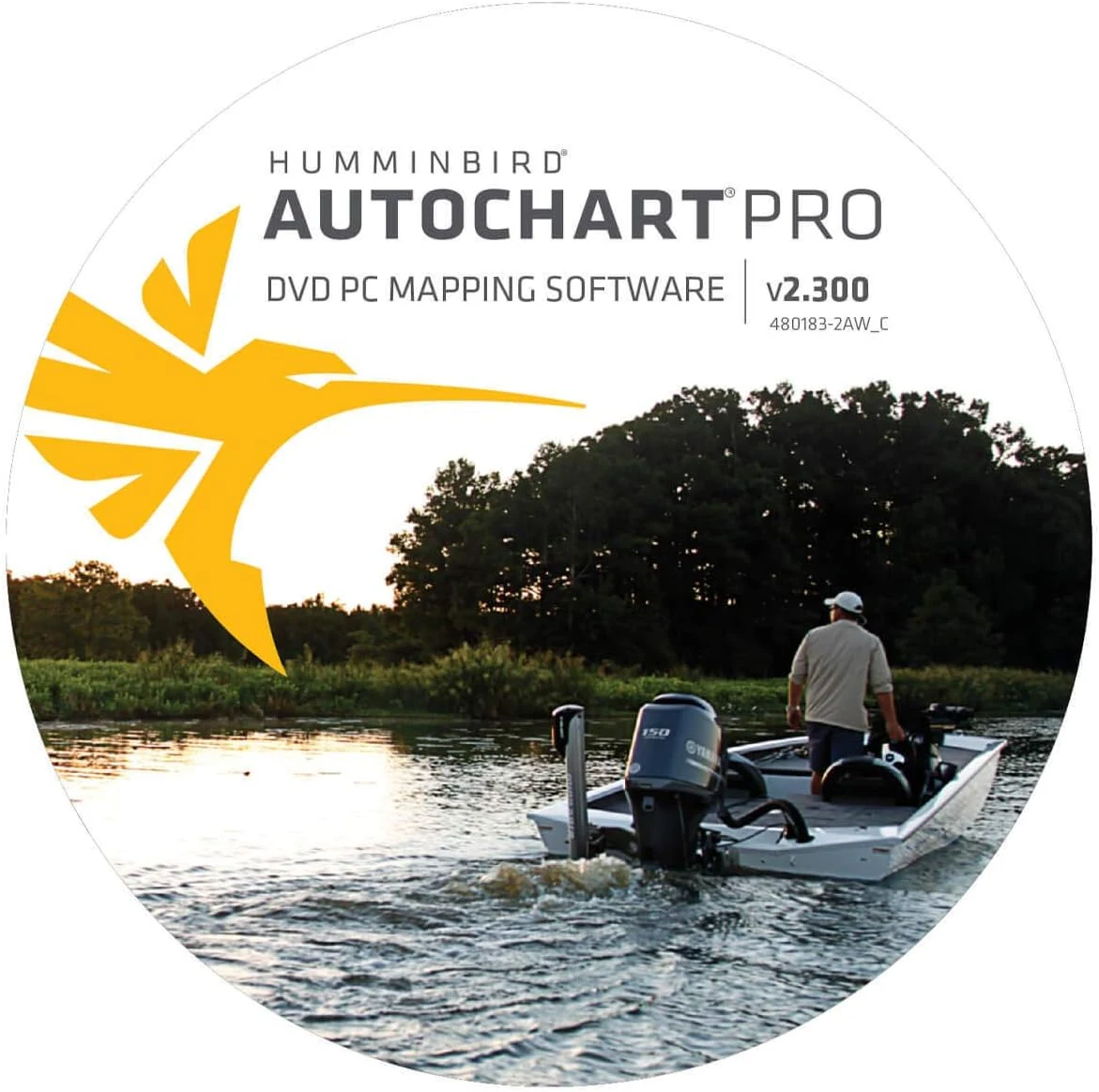
Humminbird 600032-1 AutoChart PRO North America Sonar & GPS DVD PC Mapping Software Small
Humminbird 600032-1 AutoChart PRO North America is PC mapping software and media for creating custom lake charts from sonar and GPS data. It includes Bottom Hardness and Side Imaging style overlays, plus a 32 GB “Zero Lines” SD card with extensive North America coverage, making it a strong fit for owners who want to build their own fishing-spot maps offline. The main caveat is setup complexity and the fact it may overlap with features you already have if your setup includes AutoChart Live.
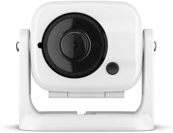
Garmin GC 100 Wireless Camera, 010-01865-30
Garmin GC 100 is a compact, wireless marine camera designed to stream video to compatible Garmin chartplotters, including night/infrared use cases. The main tradeoff is connection reliability and the need for chartplotter software compatibility for setup and syncing.
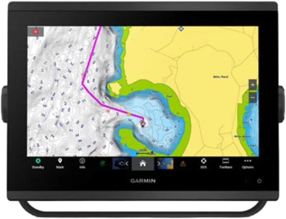
Garmin 010-02367-61 GPSMAP 1243xsv SideVü, ClearVü and Traditional Chirp Sonar with Mapping - 12" Navionics+
The Garmin GPSMAP 1243xsv is a 12-inch marine chartplotter with WXGA display and built-in sonar features designed for SideVü, ClearVü, and traditional CHIRP (plus Panoptix support). It comes with pre-loaded mapping and aims to improve on-screen clarity for day-to-day navigation and scanning sonar use. The main tradeoff is that this is a larger, higher-end setup, so it is best for boats where you want a big-screen multifunction unit rather than a compact upgrade.
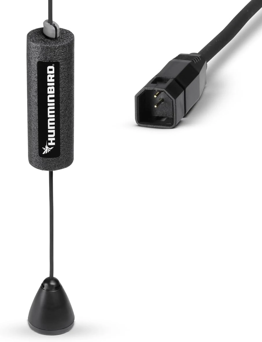
Humminbird ICE Transducer with Dual Beam Sonar – XI 9 20
A dedicated ice-fishing sonar transducer for Humminbird units that converts many non-CHIRP setups into hardwater sonar. It’s built for proper positioning in an ice hole and delivers two sonar beam angles for detail and coverage, with one key limitation: sonar only (no temperature sensor).