Garmin 010-C1291-00 Navionics Vision+ U.S. East - Lakes, Rivers and Coastal Marine Charts (microSD/SD) + One-Year Subscription
Quick take
Garmin’s Navionics Vision+ chart card for the U.S. East adds richer mapping detail for compatible Garmin marine chartplotters, including coastal and inland lake and river coverage, customizable chart layers, and helpful routing guidance. Buyers say the enhanced depth and visual detail is the main payoff, but setup and syncing in ActiveCaptain takes some time, and map coverage that feels “enough” depends on where you actually fish and cruise.
Pros and cons
Pros
- Designed for Garmin chartplotters, delivering Vision+ mapping style with expanded inland and coastal content.
- Customizable chart layers and overlay combinations, including target depth color shading (up to 10 ranges) for fishing.
- Includes a one-year subscription for ActiveCaptain daily updates via a smart-device app.
- Auto Guidance+ suggests dock-to-dock routes for easier navigation planning.
Cons
- Installation and download syncing can be time-consuming, especially when you select larger areas in ActiveCaptain.
- Best value depends on your water type and coverage needs, some buyers found the added benefits less compelling for their specific inshore use.
- You need the correct card/setup workflow to activate and load the charts, not just insert the microSD/SD.
What buyers think
Buyer-review evidence is limited in volume, but the recurring themes are clear: the Vision+ detail is the standout improvement over baseline mapping, with particular emphasis on finer depth-related information (including isobaths) and added visual context such as satellite imagery and points of interest. Several buyers also mention that updating and connecting through ActiveCaptain can work smoothly once you follow the process, though it may take hours to download and transfer larger coverage areas. On practical value, some buyers consider it an easy upgrade for the chartplotter they own, while others feel it may be pricey if your routes and fishing spots are narrow and well-covered already.
What this chart card is for
This is a Garmin-compatible Navionics Vision+ chart option for U.S. East waters, focused on marine use across coastal areas plus inland lakes and rivers. The idea is to replace or augment the mapping experience on your chartplotter with a more detailed, color-rich view, and then keep it current for a year through ActiveCaptain updates.
Key features that matter in daily use
Coverage and mapping detail for lakes, rivers, and coastal waters
The Vision+ approach is intended to give you a more detailed look when you plot routes, scan depths, and move around complex shorelines. Buyers specifically mention improvements in depth-related detail and enhanced visual layers compared with a unit’s standard mapping.
Customizable layers for how you actually navigate
You can tailor what you see by mixing chart layers and overlays. There is also a target depth feature that lets you select color-shaded depth ranges (up to 10) to help quickly spot spots that match your preferred depths.
ActiveCaptain one-year subscription, with frequent updates
Included with the card is a one-year subscription that connects to ActiveCaptain via a smart-device app for daily updates. In practice, that means the mapping data can be refreshed over time, which is most useful if you boat in shifting coastal or inland environments and want current detail.
Navigation help with auto guidance+
Auto Guidance+ provides suggested dock-to-dock routings. This is helpful for planning or when you want the chartplotter to help reduce guesswork around route selection.
Installation and setup: the main buying caveat
The most common practical friction is the time and workflow required to get the downloaded coverage into your chartplotter. Reviews mention that installing the enhanced charts can take a while, especially if you download a larger satellite imagery or coverage area in ActiveCaptain, and then transfer it to the MFD. There is also a setup step involved in activation and syncing, so it is worth reading the activation instructions carefully before you expect the chart to show up.
Pros and cons for different types of boaters
Best for
- Boaters who want more granular depth and visual detail than what ships on a standard Garmin chartplotter.
- People who fish and navigate in specific depth ranges, since target depth shading can make spot-checking faster.
- Users who are comfortable spending some setup time to download and load enhanced coverage, then benefit from daily updates for a year.
Might not be the right fit if
- Your routes are limited and already well served by your existing baseline mapping, you may find the upgrade harder to justify.
- You want a “plug in and go” experience with minimal setup time and no app-based downloading.
- You are unsure whether your chartplotter supports the required card/setup workflow, you will want to confirm compatibility before buying.
Value: what you are paying for
This product is not just a static map. The value proposition is improved Vision+ detail plus a one-year window of ActiveCaptain daily updates, including a workflow that can pull down enhanced satellite-related imagery coverage and then display it through your chartplotter’s enhanced settings. If you regularly use the same inland rivers, lakes, bays, and coastal areas, the ongoing updates are where the subscription component becomes meaningful.
How it compares (without overcomplicating it)
If you are choosing between different Garmin chart options, think less about the marketing name and more about your priorities:
- For richer depth and visual layers: Vision+ style upgrades are most compelling.
- For app-based freshness: look for options that include an ActiveCaptain subscription period.
- For convenience and speed: consider whether you are willing to spend time downloading and loading larger coverage areas.
- For cost sensitivity: if your local waterways are already covered well by what you have, you may decide the incremental detail is not worth the price.
Verdict
Choose the Garmin 010-C1291-00 Navionics Vision+ U.S. East chart card if you boat across the U.S. East’s mix of coastal, lake, and river waters and you want noticeably richer mapping detail plus a year of ActiveCaptain daily updates. It is a strong fit for depth-focused navigation and fishing, as long as you are willing to work through the install and sync workflow, and you have a chartplotter that matches the required setup.
FAQs
Is this chart card only for a specific Garmin chartplotter?
This chart card is made to work with compatible Garmin marine chartplotters, and it relies on the correct activation and loading workflow. Before purchasing, confirm your model’s support for the required map card type and how it integrates with ActiveCaptain updates.
Do I need to do anything beyond inserting the microSD/SD card?
Yes. Buyers note that activation and syncing through the ActiveCaptain smart-device app is part of the process, and that you may need additional setup steps to get the charts transferring and displaying correctly on the MFD.
Why does installation take a long time?
The download and transfer time depends on the coverage area and enhanced imagery you choose in ActiveCaptain. When selecting larger satellite or coverage regions, it can take several hours to download and then upload to the chartplotter.
What is the main benefit of Vision+ compared to standard mapping?
Buyers highlight more granular depth and visual detail, including better depth-related information and enhanced overlays such as satellite imagery and points of interest. The improvement is most noticeable when you regularly navigate or fish in areas where fine detail matters.
Is it worth the price for inshore use?
It depends on your water type and how well your current chart mapping already covers your typical spots. Some buyers found the enhanced coverage less compelling for narrowly inshore routes, while others considered the added detail a clear upgrade.
Does the one-year subscription include daily updates?
Yes. The card includes a one-year subscription that supports daily updates via ActiveCaptain on a smart device.
Want to check current availability? Buy on Amazon.
Specifications
| Product Title | Garmin 010-C1291-00 Navionics Vision+ U.S. East - Lakes, Rivers and Coastal Marine Charts microSD/SD and One-Year Subscription |
|---|---|
| Category | Electronics > Car & Vehicle Electronics > Marine Electronics > Marine GPS Chartplotters |
| Brand | Garmin |
| Manufacturer | Garmin |
| Model Number | 010-C1291-00 |
| Color | Black |
| Brand Name | Garmin |
| Map Type | Nautical |
| UPC | 753759290658 |
| Global Trade Identification Number | 00753759290658 |
| Part Number | 010-C1291-00 |
| Unit Count | 1.0 Count |
| Included Components | Garmin 010-C1291-00 Navionics Vision+ U.S. East - Lakes, Rivers and Coastal Marine Charts microSD/SD and One-Year Subscription |
| Item Type Name | Garmin 010-C1291-00 Navionics Vision+ U.S. East - Lakes, Rivers and Coastal Marine Charts microSD/SD and One-Year Subscription |
Recommended next
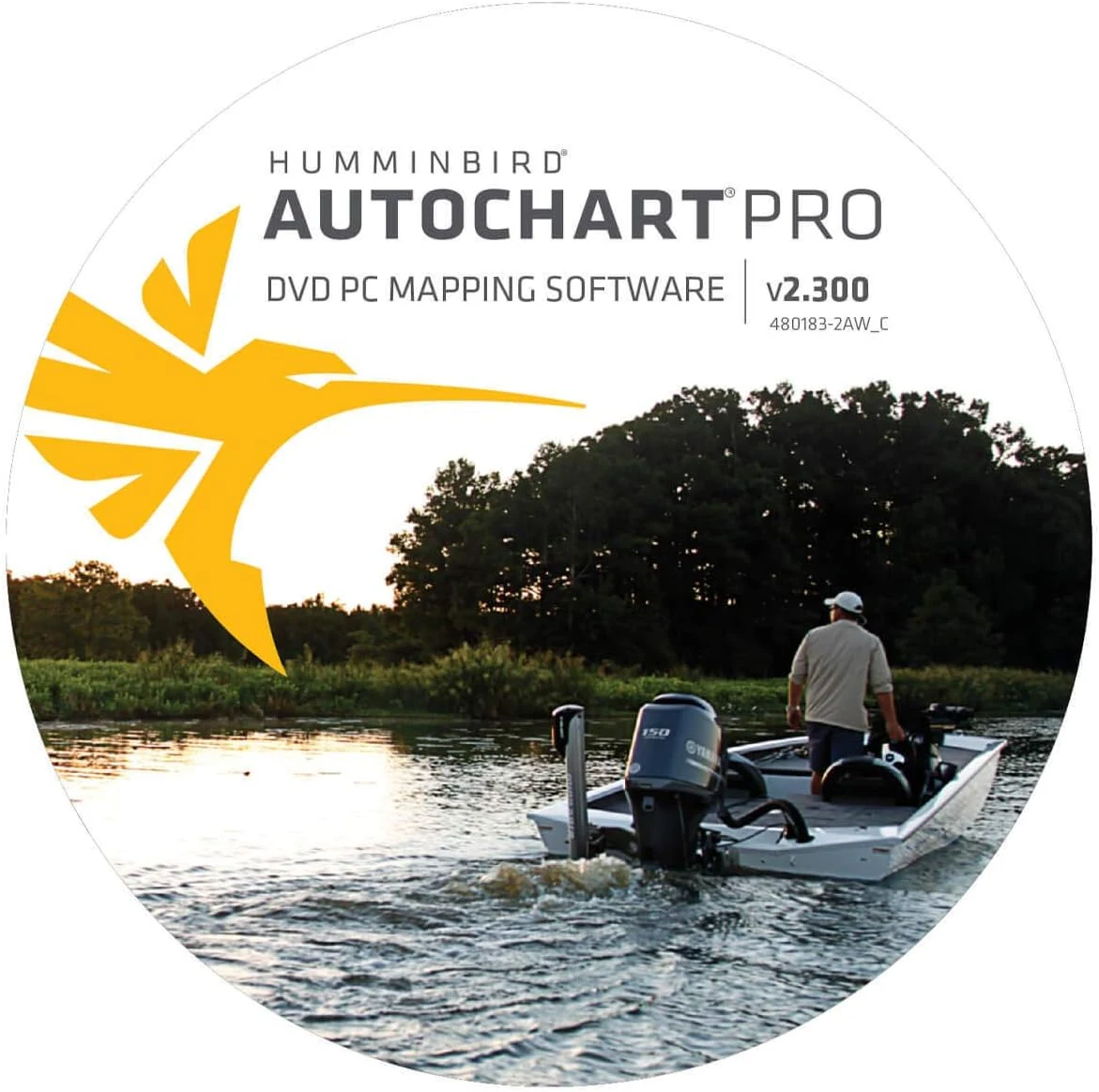
Humminbird 600032-1 AutoChart PRO North America Sonar & GPS DVD PC Mapping Software Small
Humminbird 600032-1 AutoChart PRO North America is PC mapping software and media for creating custom lake charts from sonar and GPS data. It includes Bottom Hardness and Side Imaging style overlays, plus a 32 GB “Zero Lines” SD card with extensive North America coverage, making it a strong fit for owners who want to build their own fishing-spot maps offline. The main caveat is setup complexity and the fact it may overlap with features you already have if your setup includes AutoChart Live.
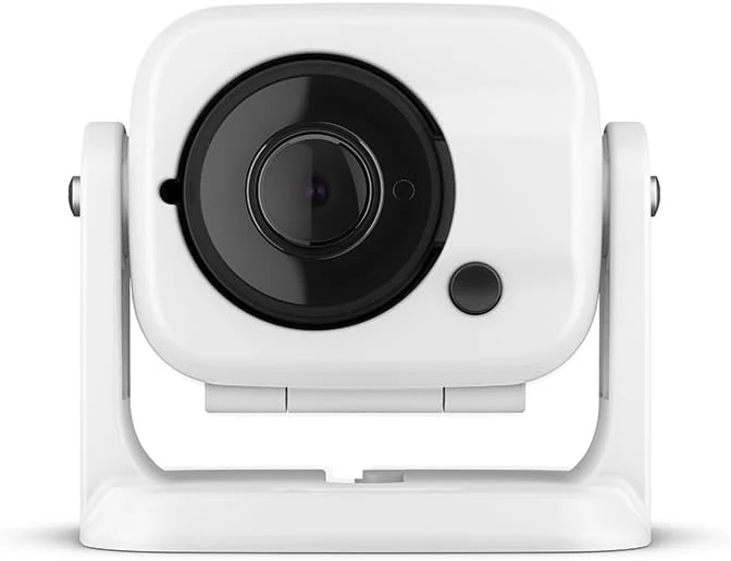
Garmin GC 100 Wireless Camera, 010-01865-30
Garmin GC 100 is a compact, wireless marine camera designed to stream video to compatible Garmin chartplotters, including night/infrared use cases. The main tradeoff is connection reliability and the need for chartplotter software compatibility for setup and syncing.
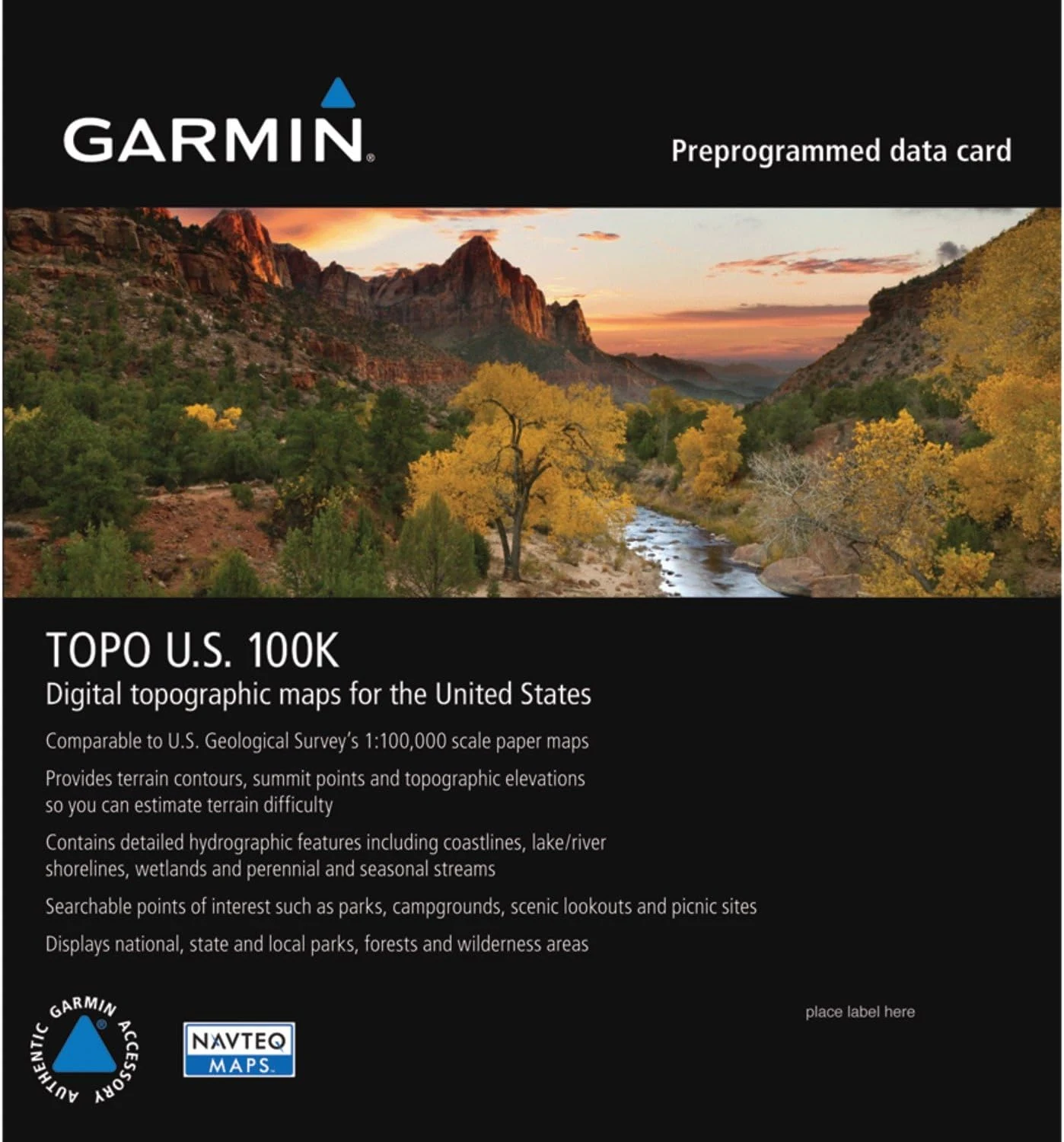
Garmin Topo US 100K Full Coverage, Garmin MicroSD/SD
Garmin Topo US 100K Full Coverage (microSD/SD) is built for detailed, USGS-like topographic navigation on compatible Garmin units. It emphasizes terrain contours, elevation context, and routable roads and trails, plus hydrographic detail for lakes, rivers, wetlands, and seasonal waterways, with 3D terrain shading on supported devices. The main caveat is that coverage can still miss some established or obscure routes in certain areas.
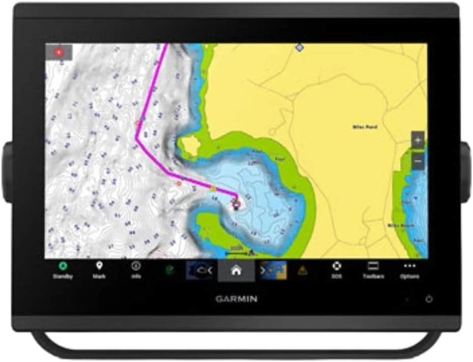
Garmin 010-02367-61 GPSMAP 1243xsv SideVü, ClearVü and Traditional Chirp Sonar with Mapping - 12" Navionics+
The Garmin GPSMAP 1243xsv is a 12-inch marine chartplotter with WXGA display and built-in sonar features designed for SideVü, ClearVü, and traditional CHIRP (plus Panoptix support). It comes with pre-loaded mapping and aims to improve on-screen clarity for day-to-day navigation and scanning sonar use. The main tradeoff is that this is a larger, higher-end setup, so it is best for boats where you want a big-screen multifunction unit rather than a compact upgrade.