Garmin Zumo XT2 All-Terrain Motorcycle GPS Navigator, 6" Sunlight Readable
Quick take
The Garmin Zumo XT2 is a rugged 6-inch motorcycle GPS designed for clear visibility in bright riding conditions, with an IPX7 weatherproof rating and all-terrain build for handling rain, vibration, and dust. It’s especially compelling if you plan routes on the device or through Garmin’s Tread app, and you want satellite imagery and rider tools like group tracking. The main caveat is workflow, some riders find certain route sharing and GPX file workflows less convenient than expected, and using Tread is central to getting the full experience.
Pros and cons
Pros
- 6-inch ultrabright, sunlight-readable display (1280 x 720 resolution) for easier riding visibility.
- Rugged durability with IPX7 weatherproofing built for real-world conditions.
- Route planning and map flexibility, including switching between street, topographic, and BirdsEye Direct satellite imagery.
- Rider and emergency ecosystem support: group ride tracking via compatible accessories and inReach compatibility for SOS and messaging.
Cons
- Route and file workflow may feel cumbersome, with feedback pointing to GPX downloading and route sharing friction.
- Tread app appears necessary for key features, and riders who rely on older Garmin route tools may need to change habits.
- Battery life is limited (rated around ~5 hours), so long day rides may require power planning.
What buyers think
Buyer-review evidence for the Garmin Zumo XT2 is limited, but the feedback that is available clusters around readability and overall usability. Several riders highlight that the screen is easy to see in bright sunlight, and that the unit performs well once set up. The most notable recurring theme is the learning curve around the app-based workflow for route handling, including sharing routes and working with GPX files, with one comment specifically criticizing compatibility with older Garmin tools and emphasizing reliance on the Tread app.
Design and display, built for day-to-day riding
The Zumo XT2 is centered on a large 6-inch touchscreen with an ultrabright, sunlight-readable display. With 1280 x 720 resolution and support for portrait and landscape viewing, it’s designed to stay readable when lighting conditions are harsh. For riders, that matters because glanceable navigation is often the difference between staying focused and taking your eyes off the road too long.
Route planning that fits two common styles
This unit supports custom route planning directly on the navigator and through Garmin’s Tread app on a compatible smartphone (Android or iOS). You can also switch between map styles, including on-road maps, topographic maps, and BirdsEye Direct satellite imagery. If your riding style is exploration-heavy, there’s also a “Great Rides” concept in the app that helps with discovering and bookmarking routes, then syncing them to the GPS for navigation.
Rider connectivity, music, and alerts
Beyond turn-by-turn guidance, the Zumo XT2 supports Bluetooth connectivity for phone integration. You can hear directions and stream music through a connected helmet or headset setup. For riding awareness, it also supports real-time traffic and weather updates via the Tread app workflow. If your ride group uses Zumo XT2 units and compatible accessories, the device is positioned for group ride tracking, even in situations without cellular coverage when paired with the right accessory ecosystem.
Durability and outdoor reliability
The Zumo XT2 is built for motorcycles, with an IPX7 weatherproof rating intended to handle rain and exposure. The product positioning also emphasizes resistance to vibration and dust, which are common real-world issues for electronics mounted on bikes. For shoppers, the practical takeaway is that this is not treated like a casual car GPS, it’s meant to live on the handlebar in mixed weather.
Battery life and power planning
Battery life is rated at about up to ~5 hours. If you do shorter rides, that can be enough, but multi-day or long “no-stop” explorations may require planning for charging power or a bike power connection to avoid running out mid-ride.
Who should buy it
- Riders who prioritize screen visibility in bright sunlight and want a large, easy-to-read display.
- Motorcyclists who like visual route planning and want map switching between street, topo, and satellite imagery.
- Group ride participants who want support for tracking and shared riding workflows (when using compatible accessories and apps).
- Adventure riders who value emergency capability, since the unit is compatible with a inReach satellite communicator for SOS-style messaging and location sharing.
Who should skip it
- People who expect a simple “plug in and sync anywhere” approach for GPX sharing or older Garmin route workflows, based on buyer feedback about app and file friction.
- Long-ride commuters or travelers who do not want to manage charging or power connections, given the ~5-hour battery rating.
- Shoppers on a tight budget looking for a basic turn-by-turn unit, because this model is built for riders who want rugged hardware and advanced map and rider features.
Verdict
The Garmin Zumo XT2 is a strong match for riders who want a rugged motorcycle GPS with excellent sunlight readability, flexible map views, and a route planning workflow centered around the Tread app. If you’re comfortable embracing that app-based ecosystem and you’re power-planning for longer days, it looks like a practical upgrade. If your current route workflow depends heavily on GPX transfers or older Garmin tools, be ready for a learning curve.
FAQs
Is the Garmin Zumo XT2 easy to read in bright sunlight?
It’s designed around a 6-inch ultrabright, sunlight-readable touchscreen, and buyer feedback commonly mentions that it is easy to see in bright conditions.
How long does the Garmin Zumo XT2 battery last?
Battery life is rated at about up to ~5 hours, so longer rides may require power planning.
Can I plan routes on the device without a phone?
Yes. The Zumo XT2 supports creating custom routes directly on the navigator, and it also offers a phone app route workflow through Tread.
Does it work with topographic and satellite imagery?
Yes. The device supports switching between on-road maps, topographic maps, and BirdsEye Direct satellite imagery.
Is inReach compatibility included?
The Zumo XT2 is compatible with a compatible inReach satellite communicator for two-way messaging, location sharing, and SOS capabilities when paired.
Does it stream music through Bluetooth?
It supports Bluetooth connectivity for music streaming and audio integration with a connected helmet or headset.
What’s the biggest potential downside?
Some riders report that route sharing and GPX-related workflows can be less convenient than expected and that Tread may be required for key features, which can make the learning curve feel steep at first.
Specifications
| Product Title | Garmin Zumo XT2 All-Terrain Motorcycle GPS Navigator, 6" Sunlight Readable Display, Motor Bike Garmin GPS Navigation System Bundle with Motorcycle Mount + 32GB SD Memory Card and Accessories |
|---|---|
| Category | Automotive > Motorcycle & Powersports > Accessories > Electronics > GPS Units |
| Brand | Garmin |
| Manufacturer | Garmin |
| Model Name | 010-02781-00 |
| Model Number | 010-02781-00 |
| Item Weight | 3 Pounds |
| Compatible with Vehicle Type | Motorcycle |
| Screen Size | 6 Inches |
| Additional Features | Birdseye Direct Satellite Imagery, Bluetooth |
| Connectivity Technology | Bluetooth |
| Map Types | North America, Satellite, Street |
| Audio Output Mode | Stereo |
| Battery Average Life | 5 Hours |
| Mounting Type | Handlebar Mount |
| Resolution | 1280 x 720 |
| Operating System | Android |
| Memory Storage Capacity | 32 GB |
| Touch Screen Type | Capacitive |
| Display Type | LCD |
| Human-Interface Input | Buttons |
| Compatible Devices | Smartphone |
| Control Method | App |
| Are Batteries Included | No |
| Supported Satellite Navigation System | GPS |
| Compatible Flash Memory Type | SD, microSDHC |
| Connectivity Protocol | Bluetooth |
Recommended next
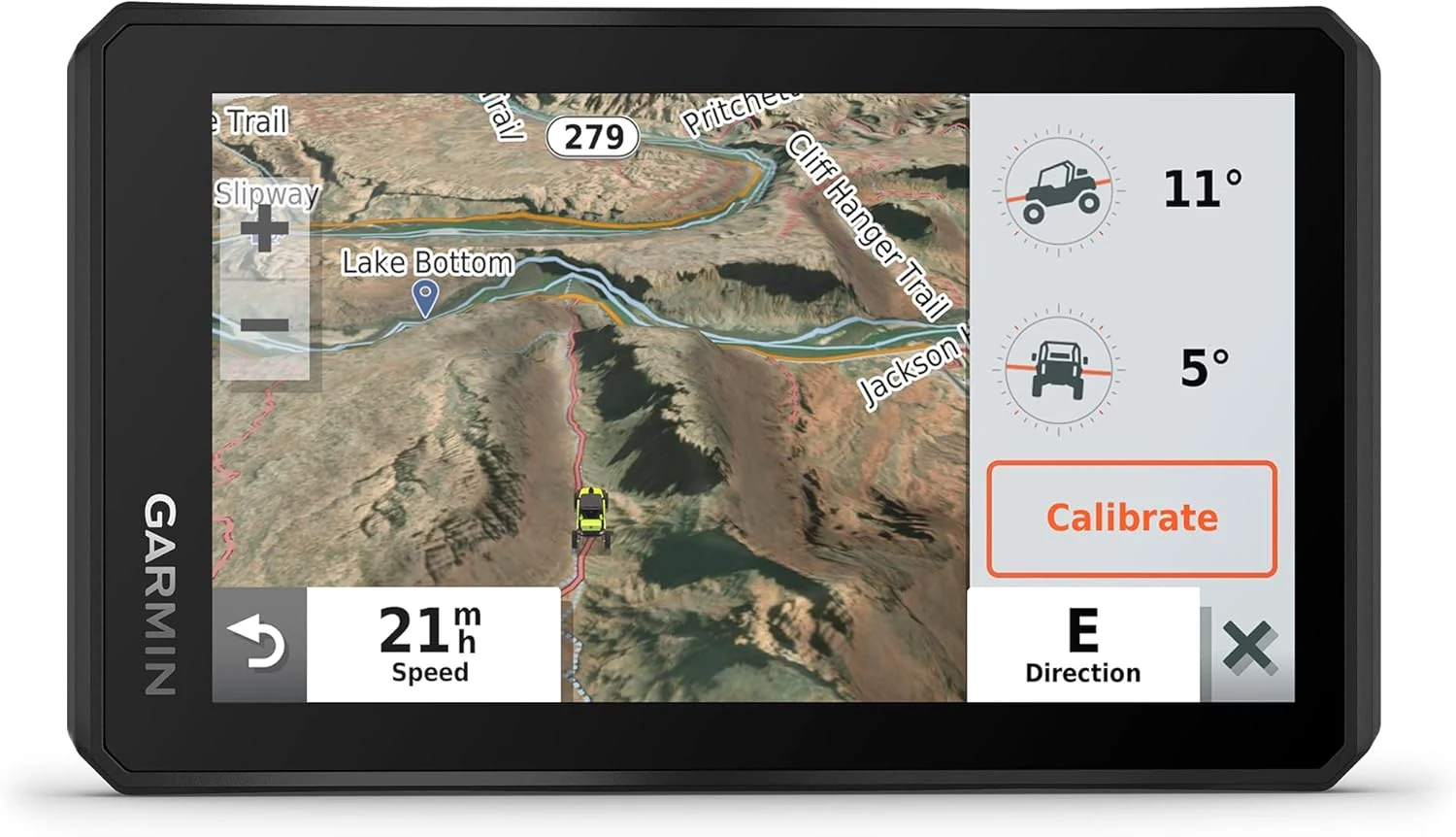
Garmin Tread Powersport Off-Road Navigator, Includes Topographic Mapping, Private and Public Land Info and More, 5.5" Display
The Garmin Tread Base is a rugged 5.5-inch powersport GPS designed for ATV, side-by-side (SXS), and snowmobile riding. It comes with preloaded topographic mapping, public and private land boundary info, and BirdsEye satellite imagery (subscription-free), plus ride-oriented tools like an altimeter and barometer. The tradeoff is that you may need time to learn the interface, and review sentiment on map clarity is mixed.
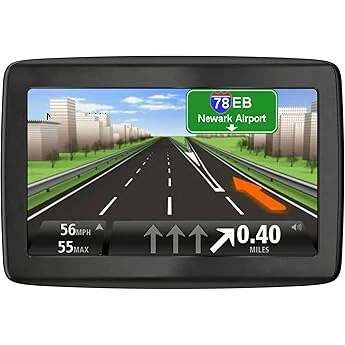
TomTom VIA 1505M 5-Inch Portable GPS Navigator with Lifetime Maps
The TomTom VIA 1505M is a 5-inch portable GPS aimed at drivers who want straightforward turn-by-turn navigation and ongoing map updates without relying on a smartphone. It’s a good value for its screen size and mount setup, but buyers should be prepared for an update process that can be a hassle and for occasional map details that are not perfect.
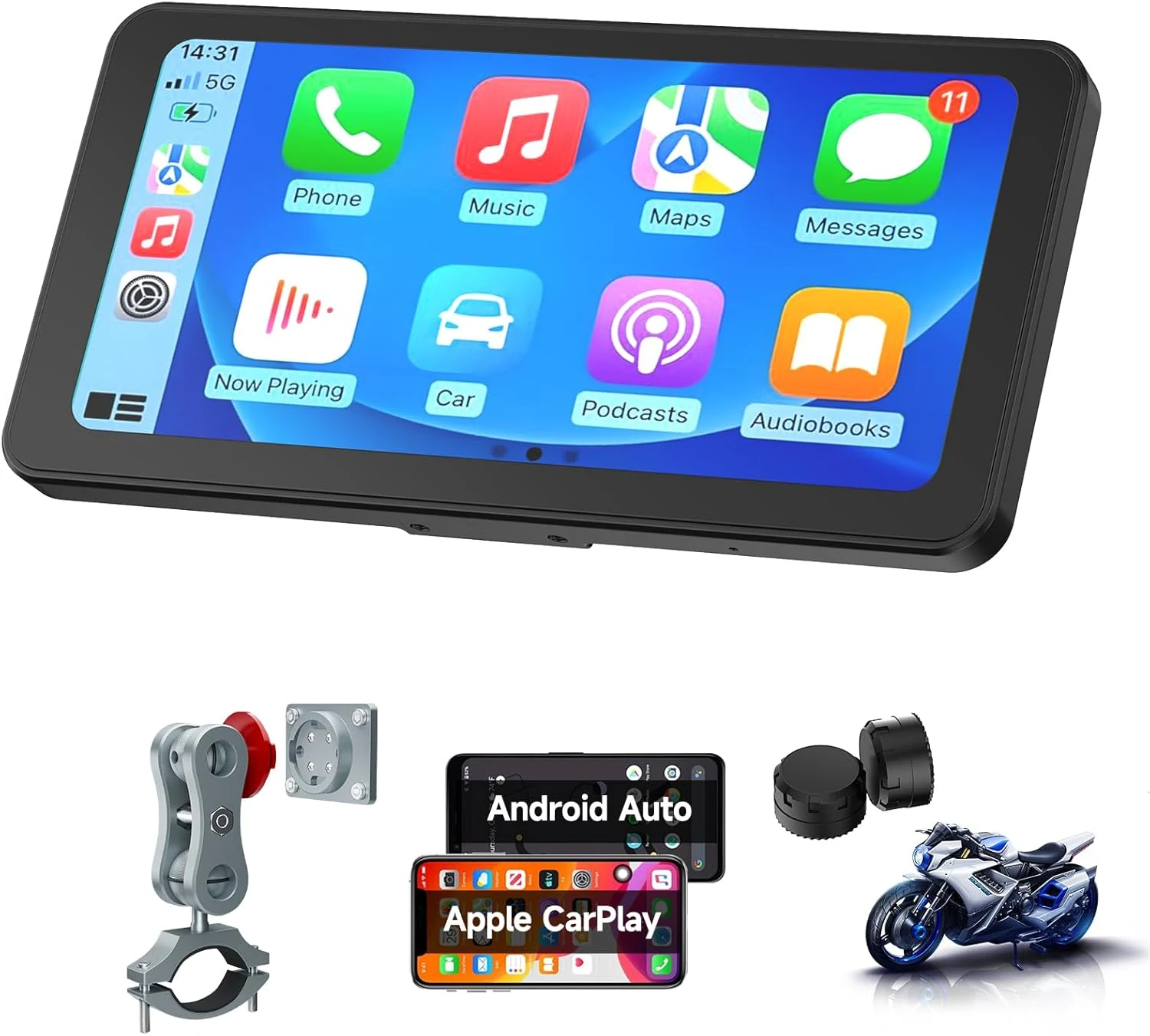
Spedal CL871pro 6.25" Motorcycle CarPlay & Android Auto Screen, TPMS
The Spedal CL871pro is a 6.25-inch motorcycle display built for CarPlay and Android Auto, with direct Bluetooth audio and a built-in tire pressure monitoring feature (TPMS) using two sensors. Strong points in rider feedback include brightness in harsh sun, reliable day-to-day use on long trips, and a solid mount, with the main tradeoff being that the active screen area feels a bit smaller than expected.
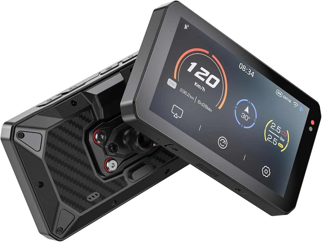
CHIGEE AIO-5Play Motorcycle Carplay Android Auto GPS Navigation System, 5"
The CHIGEE AIO-5Play is a 5-inch motorcycle CarPlay and Android Auto navigation unit built for glove-friendly touchscreen use and wet-weather riding (IP68). It focuses on smooth visuals with a 60FPS display and includes Wi‑Fi and Bluetooth for wireless phone integration, but buyer experience can vary with app stability and some connectivity or settings quirks.