Garmin inReach Mini 2 Satellite Communicator, Lightweight Compact Rugged Design, Portable GPS Handheld for Hiking, Two-Way Text Messaging Device Bundle with Accessories (Flame Red)
Quick take
The Garmin inReach Mini 2 is a small, rugged satellite communicator designed for hikers and other outdoor travelers who need to send two-way messages and trigger SOS when there is no cell service. Buyers like how it supports solo trips with location sharing and weather access, but some note there can be a learning curve before the features feel smooth.
Pros and cons
Pros
- Global two-way texting via the Iridium satellite network, even when cell coverage is unavailable.
- Interactive SOS that contacts a 24/7 Garmin Response coordination center for emergency support.
- Built for the outdoors with MIL-STD-810 ruggedness and IPX7 water resistance.
- TrackBack routing and a digital compass help with navigation back toward your start point.
Cons
- Satellite messaging and SOS require an active satellite airtime plan, which is an added ongoing cost.
- Setup and feature use can take some getting used to, especially for first-time owners.
- TrackBack may not match what some hikers expect from continuous “breadcrumb” tracking.
What buyers think
Buyer feedback emphasizes practical off-grid usefulness, especially for solo hiking. Multiple reviews mention that once configured, the device helps keep friends and family updated, including via location sharing through a MapShare page, and that texting works in remote environments. Reviewers also highlight the “life insurance” angle, citing SOS capability for high-stakes situations. Battery performance is generally viewed positively, with some owners planning ahead by carrying additional power for longer days. The most common caveat in buyer feedback is a learning curve during setup, and a mismatch between expectations for route tracking convenience versus what TrackBack is designed to do.
Key features that matter for hikers and solo travelers
Satellite coverage for two-way messaging and check-ins
Unlike phones that depend on cellular towers, the inReach Mini 2 uses the Iridium satellite network for global coverage. That means you can send and receive text messages (and coordinate SOS) from places where normal connectivity fails. For solo hikers, that translates into fewer “are you okay?” moments and more structured updates to loved ones.
Emergency SOS with interactive support
In an emergency, the device can trigger an SOS to the Garmin Response coordination center, which is available 24/7. For many buyers, this is the main reason they choose a satellite communicator instead of a standard handheld GPS, because it adds a communication path when you cannot rely on a phone network.
Compact and rugged, built for real weather
The Mini 2 is designed to be packable, with a stated size around 4 inches by 2 inches and a lightweight build. It is also rated IPX7 for water resistance and meets MIL-STD-810 rugged standards. In practice, that combination is intended to handle the knocks and weather exposure that come with hiking, camping, and other outdoor use.
Battery life that supports longer excursions (with interval settings)
Battery life is rated up to 14 days in a default 10-minute tracking mode, and up to 30 days when using a 30-minute tracking interval. Real-world use varies based on how often you track, message, and check weather, so the main buying consideration is whether your planned outing length and communication needs line up with those interval expectations.
TrackBack routing and compass assistance
TrackBack routing is designed to help you navigate back using the same route you came from. There is also a digital compass intended to provide accurate heading information even when stationary. Some buyers still treat this as an emergency and safety-first device, so expectations around backtracking and continuous route logging should be aligned with how TrackBack works.
Setup and daily usability: what to expect
Buyers repeatedly describe a learning curve, particularly around setup and using the device features. That is common with satellite communicators because messaging, tracking intervals, and location sharing tie into a companion Garmin ecosystem. If you are new to satellite devices, plan for a bit of time at home to get it configured before your first serious trip.
Price and availability
This Garmin bundle is offered at a listed price that is typically higher than a basic handheld GPS. Since satellite functionality depends on a subscription airtime plan, the overall cost includes both the device and ongoing service. If you only need simple offline navigation, a regular GPS may be less expensive. If you need off-grid messaging and SOS capability, this category is usually justified by the safety and communication value.
Who should buy it
- You hike or travel solo and want a reliable way to send check-ins when cell service is unreliable.
- You prioritize safety features, including two-way communication and SOS support.
- You want a compact, rugged device that also includes location sharing and practical navigation assistance.
- You are comfortable managing a satellite plan and taking time to learn the interface.
Who should consider alternatives
- If you only need offline navigation and never plan to message or use SOS, a standard handheld GPS or phone-based offline maps may be a better fit.
- If you want a simple “turn it on and forget it” experience with minimal setup, you may find the initial learning curve frustrating.
- If you specifically need continuous breadcrumb-style route tracking for backtracking, make sure your expectations match TrackBack behavior.
Verdict
The Garmin inReach Mini 2 is a strong pick for off-grid adventurers who want more than coordinates on a screen. Its global two-way messaging, SOS support, and location sharing make it especially appealing for solo hiking and trips where emergencies and communication are real concerns. The main tradeoffs are the subscription requirement and the time it can take to get comfortable with setup and features.
FAQs
Q: Does the Garmin inReach Mini 2 work without cell service?
A: Yes. It uses the Iridium satellite network for global two-way messaging and emergency SOS when cellular coverage is not available.
Q: Do I need a satellite subscription?
A: Satellite communication and SOS support require an active satellite airtime plan, so subscription cost is part of total ownership.
Q: How long does the battery last?
A: Battery life is rated up to 14 days in a default 10-minute tracking mode, and up to 30 days on a 30-minute tracking interval. Battery performance depends on your tracking and messaging behavior.
Q: Is it rugged enough for hiking?
A: It is designed to be compact and rugged, meeting MIL-STD-810 standards and offering IPX7 water resistance.
Q: What is TrackBack routing?
A: TrackBack routing is meant to help you navigate back toward your starting point using the route you came from, supported by heading information from the digital compass.
Q: Is it good for sharing my location with family?
A: Yes. It supports location sharing, including a MapShare page for others to follow your updates.
Q: Is this the right choice if I only want navigation?
A: If your priority is offline navigation only, a standard handheld GPS may be more appropriate. If your priority includes messaging, SOS, and off-grid check-ins, the inReach Mini 2 fills that need.
Specifications
| Product Title | Garmin inReach Mini 2 Satellite Communicator, Lightweight Compact Rugged Design, Portable GPS Handheld for Hiking, Two-Way Text Messaging Device Bundle with Accessories (Flame Red) |
|---|---|
| Category | Electronics > GPS, Finders & Accessories > Sports & Handheld GPS > Handheld GPS Units |
| Brand | Garmin |
| Manufacturer | Garmin |
| Model Name | 010-02602-00-AG2 |
| Model Number | 010-02602-00-AG2 |
| Item Weight | 1.28 Pounds |
| Compatible with Vehicle Type | Boat, Car |
| Screen Size | 0.9 Inches |
| Additional Features | Global Satellite Coverage, Lightweight, Portable |
| Connectivity Technology | Wireless, Bluetooth, Ant+ |
| Map Types | Satellite |
| Battery Average Life | 336 Hours |
| Mounting Type | Handheld |
| Resolution | 176 x 176 pixels |
| Touch Screen Type | Not Obtainable |
| Display Type | Transflective Memory-In-Pixel (MIP) |
| Human-Interface Input | Buttons |
| Compatible Devices | Smartphone, Tablet |
| Control Method | App |
| Are Batteries Included | Yes |
| Supported Satellite Navigation System | GPS |
| Connectivity Protocol | Bluetooth, ANT+, USB-C |
| Sport Type | Hunting |
| Built-In Media | Manufacturer and Bundle Items |
| Model Year | 2024 |
| UPC | 094148642987 |
Available variants
Color
- Red
- Black
Recommended next
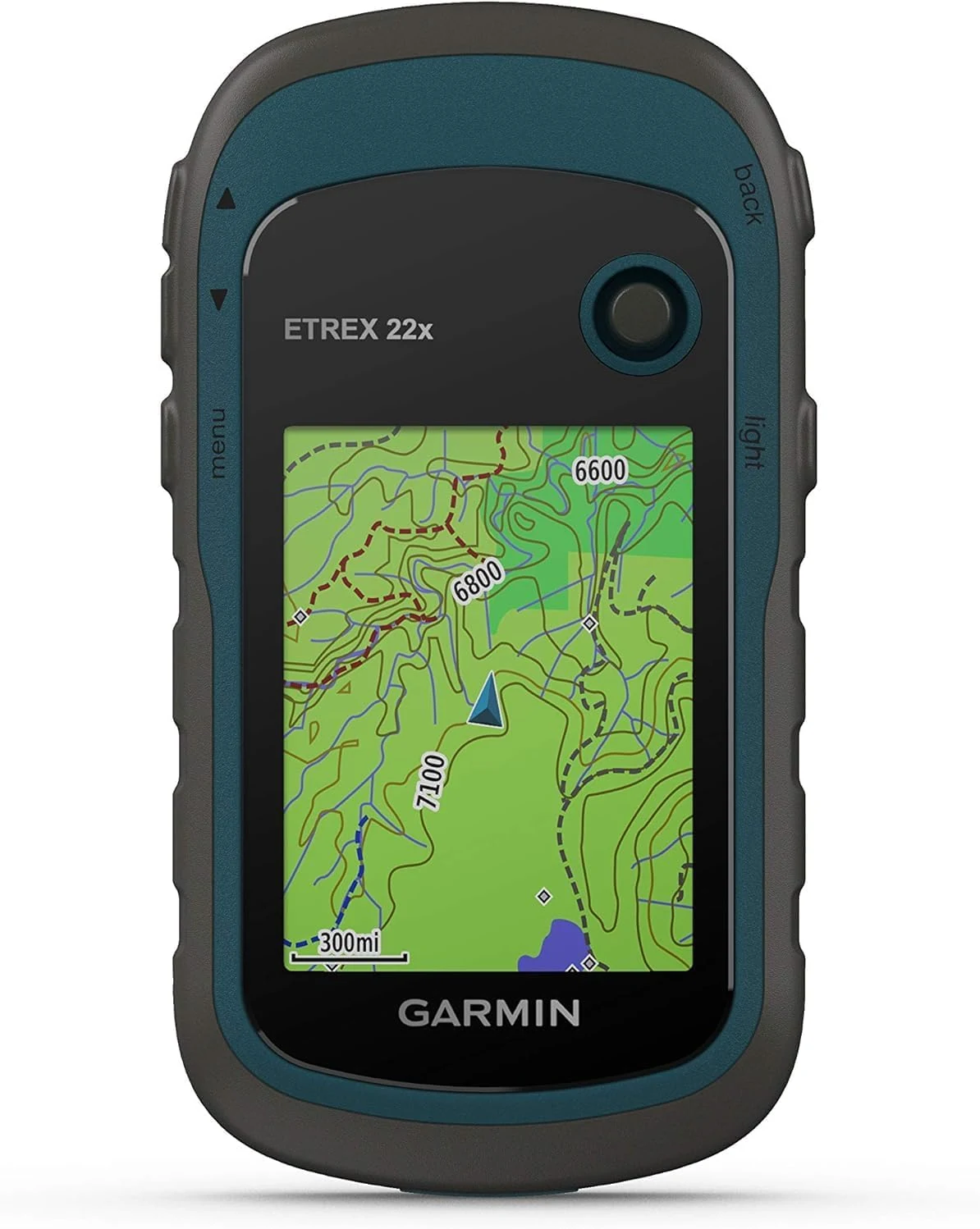
Garmin 010-02256-00 eTrex 22x, Rugged Handheld GPS Navigator, Black/Navy
The Garmin eTrex 22x is a rugged, non-touch handheld GPS designed for hiking and cycling, with a bright 2.2-inch color screen, preloaded TopoActive maps, and GPS plus GLONASS satellite support. Expect straightforward button controls and strong multi-day battery life, but the interface can feel dated and the screen is small for detailed map work.
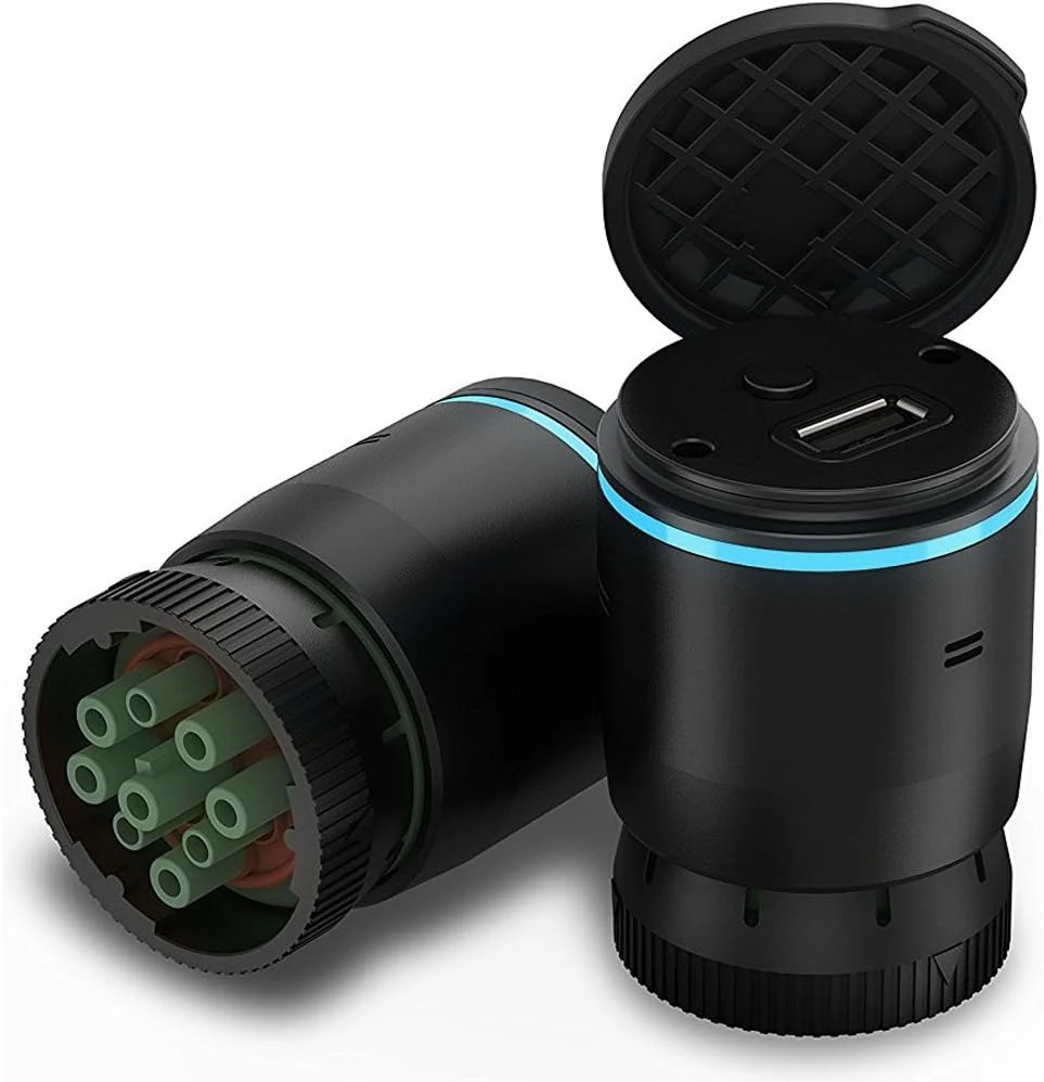
Garmin eLog, Compliant Electronic Logging Device (ELD), No-Subscription Fees, FMCSA Compliant
Garmin eLog is an FMCSA ELD solution designed for one-time purchase with no subscription fees. It records Hours of Service automatically and pairs with a compatible smartphone via the Garmin eLog app, using supported diagnostic ports (9-pin J1939 and 6-pin J1708). The biggest buying caveat is vehicle compatibility, especially if your truck uses OBD-II (SAE J1979) or certain Volvo/connector setups that may require an additional adapter cable.
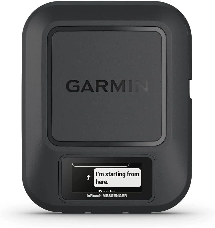
Garmin inReach® Messenger Handheld Satellite Communicator, Global Two-Way Messaging
The Garmin inReach Messenger is a small, rugged satellite communicator for two-way text messaging, location sharing, and interactive SOS when you are out of cell coverage. It is designed to work through the Garmin Messenger app for easier reading and replying, and it relies on an active satellite subscription. If you want messaging that can work “everywhere” (especially outdoors), it is a strong option, with the main tradeoff being subscription and message limits.
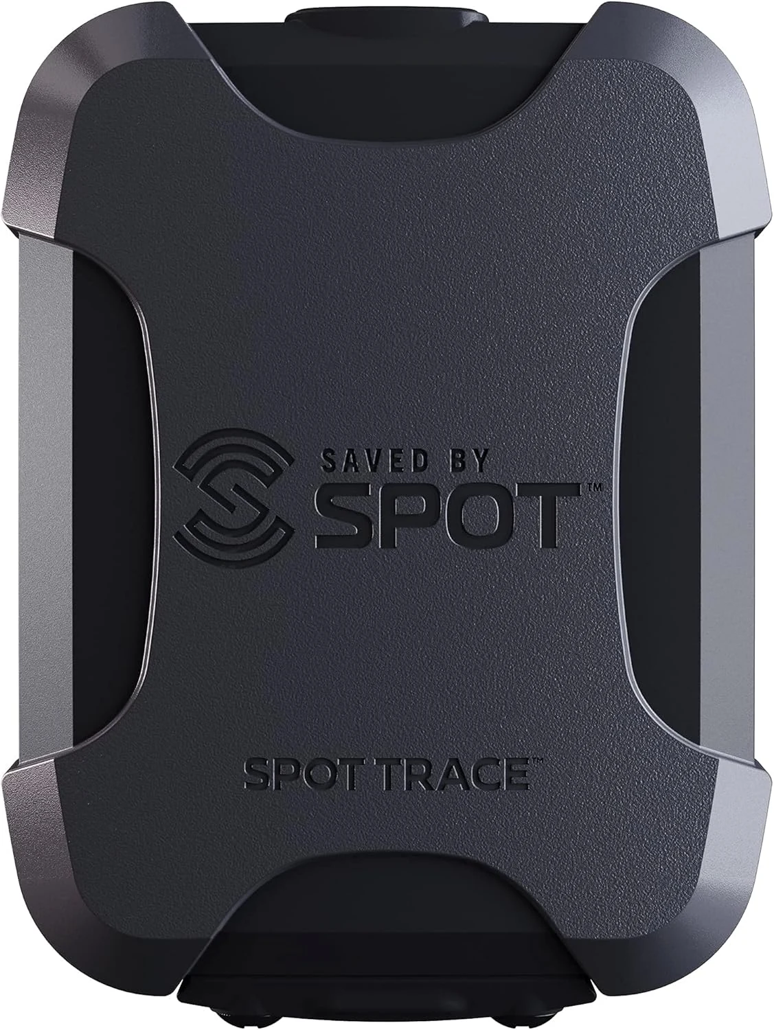
Spot Trace Satellite Tracking Device
Spot Trace is a handheld satellite asset tracker designed to work when cell coverage is unreliable, using Globalstar satellite connectivity. It’s built for keeping tabs on valuable gear and can be useful for outdoor trips and vehicle or trailer monitoring, but it depends on an active subscription and is not intended to function like a full emergency messenger.